What is recorded here
At the bottom of a S-facing slope, c. 30m W of the church (RO027-048005-). This is an oval well (dims 2.2m E-W; 1.05m N-S) recently conserved and surrounded by a path (Wth 1m) and an outer wall (Wth 0.5m; H 0.25m) S-W-N. The stream flows S, and the well is within an eliptical enclosure (dims c. 30m E-W; c. 15m N-S) attached to the S wall of the graveyard (RO027-048007-).
Compiled by: Michael Moore
Date of upload: 24 August 2010
Linked to St. Bridget (Brigid), the well is associated with healing and fertility traditions. It was historically visited for curing ailments and seeking blessings, with customs including the leaving of clooties and collecting water on special days like Imbolc.
The monument record does not grant public access. Check the route and ask the landowner before entering private land.
- What survives
- Recorded monument
Places near here
 IndicatedChurch · 29 yd
 Ritual siteRitual site, holy tree/bush · 53 yd
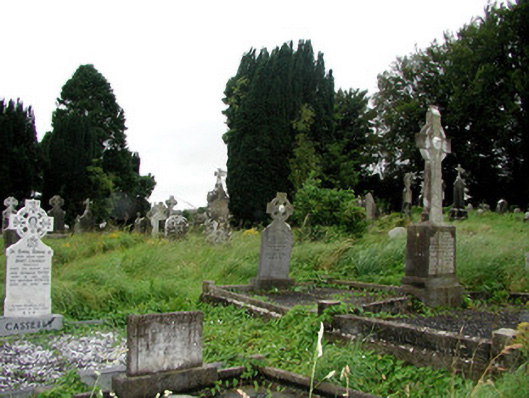 graveyard/cemeterygraveyard/cemetery · 57 yd
 Remains of Stone CrossCross, Market cross · 167 yd
 CastleCastle, Anglo-Norman masonry castle · 317 yd
 Silver IslandIslet · 3.7 mi
 Workhouse MemorialMemorial · 4.0 mi
 HawthornHawthorn · 4.4 mi
 Castlereagh HouseCastle, unclassified · 4.5 mi
 Site of Killomaine Grave YardArchaeological place · 4.7 mi
 Clonalis HouseMuseum · 5.9 mi
 European ashEuropean ash · 8.7 mi