What is recorded here
Fairy fort / earthen ringfort in Cornamucklagh (ballymoe By.) stands on a grassy rise in County Galway, marking a place where people once shaped the land into a rough circle. Two banks and a ditch still trace part of that choice, while a gap at the northeast may have been the entrance rather than a loss. The stones have gone soft and the edges have blurred, but the shape remains large enough to walk inside and imagine the hands that built it.
On a rise in grassland. Poorly preserved roughly circular rath (D c. 41m) defined by two banks and an intervening fosse. The inner bank survives from N through E to SW, while the fosse and outer bank are extant from NE to SE. A gap at NNE may be original.
The above description is derived from the published 'Archaeological Inventory of County Galway Vol. II - North Galway'. Compiled by Olive Alcock, Kathy de hÓra and Paul Gosling (Dublin: Stationery Office, 1999).
Date of upload: 05 August 2010
The monument record does not grant public access. Check the route and ask the landowner before entering private land.
- What survives
- Recorded monument
Places near here
 IndicatedFairy fort / earthen ringfort · 1679 yd
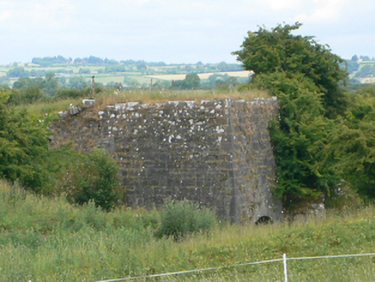 kilnkiln · 1.0 mi
 EnclosureFairy fort / earthen ringfort · 1.1 mi
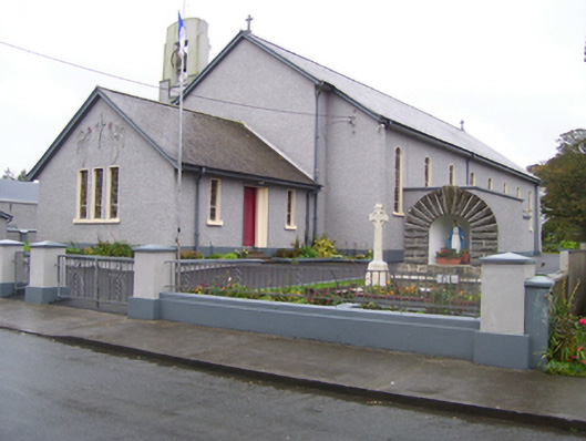 Saint Croan's Catholic Churchchurch/chapel · 1.2 mi
 Site of Killomaine Grave YardArchaeological place · 1.6 mi
_-_geograph.org.uk_-_1952978.jpg?width=1280) Bawn in Glinsk (ballymoe By.)Bawn · 1.9 mi
Bawn in Glinsk (ballymoe By.)Bawn · 1.9 mi Site of Ballyglass CastleCastle, unclassified · 2.5 mi
 Rook HillMountain / peak · 3.9 mi
 HawthornHawthorn · 4.3 mi
 European ashEuropean ash · 7.6 mi
 Mount MaryMountain / peak · 7.8 mi
 Sally IslandIslet · 8.9 mi