What is recorded here
On a gentle S-facing slope. Described as a circular area (diam. 22.5m E-W; 19.5m N-S) defined by a defaced earthen bank and an outer fosse (Gannon 1972). It is not visible at ground level in pasture.
From the National Monuments Service (Archaeological Survey of Ireland) record RO034-048
Places near here
Photo credits
- National Inventory of Architectural Heritage
- Mike Searle, Wikimedia Commons · CC BY-SA 2.0
- Didier Descouens, Wikimedia Commons · CC BY-SA 4.0
- AmandaMcCrann, Wikimedia Commons · CC BY-SA 4.0
- Willow, Wikimedia Commons · CC BY 2.5
- Sarah777 at en.wikipedia, Wikimedia Commons · Public domain
- Irishrover1980, Wikimedia Commons · CC BY-SA 4.0
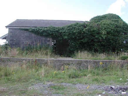 Ballymoe Railway StationStore/warehouse · 1.6 mi
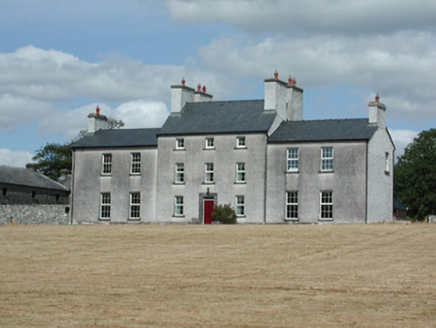 Dundermot HouseCountry house · 1.6 mi
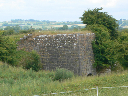 kiln1.7 mi
_-_geograph.org.uk_-_1952978.jpg/250px-Castles_of_Connacht,_Glinsk,_Galway_(2)_-_geograph.org.uk_-_1952978.jpg "Photo: Mike Searle, Wikimedia Commons · CC BY-SA 2.0") Bawn in Glinsk (ballymoe By.)Bawn · 2.0 mi
Bawn in Glinsk (ballymoe By.)Bawn · 2.0 mi Site of Killomaine Grave YardArchaeological place · 2.0 mi
.jpg/250px-Castles_of_Connacht-_Ballintober,_Roscommon_(geograph_1954203).jpg "Photo: Mike Searle, Wikimedia Commons · CC BY-SA 2.0") CastleCastle, Anglo-Norman masonry castle · 2.9 mi
CastleCastle, Anglo-Norman masonry castle · 2.9 mi Hawthorn3.4 mi
 IndicatedRound tower · 3.5 miRook HillMountain / peak · 4.8 mi
 European ash7.0 mi
 Stone sculptureStone sculpture, aniconic · 9.0 mi
 Roscommon CastleCastle · 9.9 mi
More archaeology and monuments in County Roscommon · All of County Roscommon
What do you know about this place?Tap to add a comment or ask a question