
What is recorded here
Towards the bottom of a gentle S-facing slope, c. 200m from the NW-SE River Suck. A granite boulder (dims. c. 0.9m x c. 0.7m; H c. 0.6m) with curvilinear La Tene art incised on it is beside the avenue into a farm beside the ruined Castlestrange House. (Coffey 1903, 262-3; Armstrong, 1923, 30)
This is a National Monument in state guardianship: No. 320
See the attached images taken from the E and S
Compiled by: Michael Moore
Date of upload: 24 August 2010
From the National Monuments Service (Archaeological Survey of Ireland) record RO041-033
The monument record does not grant public access. Check the route and ask the landowner before entering private land.
- What survives
- Recorded monument
Places near here
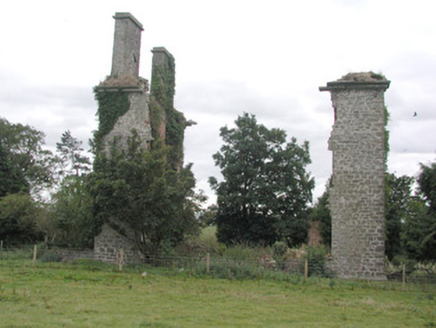 CastlestrangeFarmyard complex · 299 yd
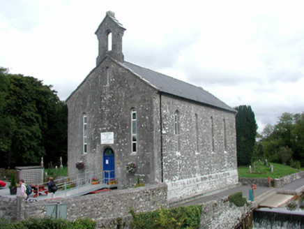 church/chapel1.3 mi
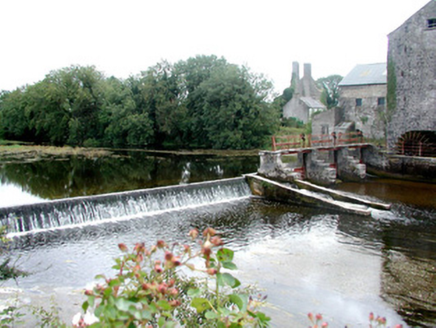 sluice/sluice gate1.3 mi
 European Yew2.2 miEuropean Yew2.2 miSally IslandIslet · 2.4 mi
 Roscommon CastleCastle · 4.6 mi
 Kellys MonumentMonumental structure · 5.4 mi
 IndicatedRound tower · 6.6 mi
_-_geograph.org.uk_-_1952978.jpg/250px-Castles_of_Connacht,_Glinsk,_Galway_(2)_-_geograph.org.uk_-_1952978.jpg "Photo: Mike Searle, Wikimedia Commons · CC BY-SA 2.0") Bawn in Glinsk (ballymoe By.)Bawn · 7.9 mi
Bawn in Glinsk (ballymoe By.)Bawn · 7.9 mi_-_geograph.org.uk_-_4071504.jpg/250px-Castles_of_Connacht,_Castle_Ffrench,_Galway_(1)_-_geograph.org.uk_-_4071504.jpg "Photo: Mike Searle, Wikimedia Commons · CC BY-SA 2.0") Tower (in Ruins)Castle, tower house · 9.5 mi
Tower (in Ruins)Castle, tower house · 9.5 mi Kilconnell AbbeyHeritage attraction · 18 mi
Pictures: National Inventory of Architectural Heritage; Sitomon, Wikimedia Commons · CC BY-SA 2.0; Irishrover1980, Wikimedia Commons · CC BY-SA 4.0; AmandaMcCrann, Wikimedia Commons · CC BY-SA 4.0; Mike Searle, Wikimedia Commons · CC BY-SA 2.0; Andreas F. Borchert, Wikimedia Commons · CC BY-SA 4.0
More archaeology and monuments in County Roscommon · All of County Roscommon
What do you know about this place?