What is recorded here
In pasture, located on a S-facing slope, close to the base of the slope. It is on the course of a natural spring, which is now channelled into a field drain.
This holy well is named ‘Toberachrinn’ on the 1838 and 1929 OS 6-inch maps. A roughly built drystone wall (H 0.4m) encloses a pool (1.1m N–S; 1m E–W) on the E side of the field drain/stream.
According to local information, the well is dedicated to St. Brigid; stations were held still being held there in the first half of the 20th century, and an adjacent hawthorn tree was used as a repository for votive offerings, such as rags, and pennies. A traditional belief associated with the well was that if a fish were seen jumping in the water, then the pilgrim’s request would be granted, however, if the fish merely floated the request would be denied. There is a rath (MA022-014----) 40m to WNW.
Compiled by: Jane O’Shaughnessy
Date of upload: 25 April 2019
Toberachrinn is associated with Saint Cronan, a 6th-century Irish monk and founder of several monastic sites in the region. The well was traditionally visited for its supposed healing properties, particularly for skin ailments and eye complaints, and was likely a site of seasonal pilgrimage and ritual washing.
The monument record does not grant public access. Check the route and ask the landowner before entering private land.
- What survives
- Recorded monument
Places near here
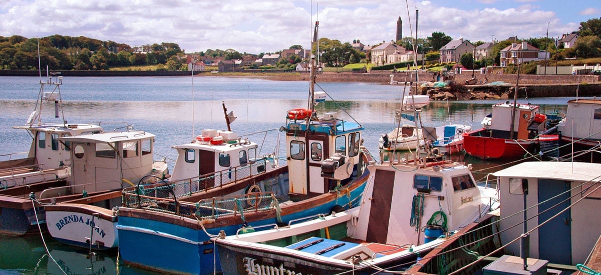 RathcranFairy fort / earthen ringfort · 72 yd
 Parknaganny FortFairy fort / earthen ringfort · 468 yd
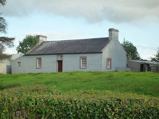 farm housefarm house · 550 yd
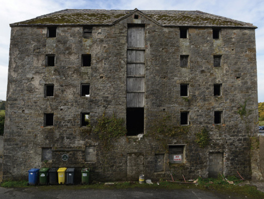 store/warehousestore/warehouse · 859 yd
 Battle of Killalabattle · 882 yd
 CastleCastle, unclassified · 940 yd
 Green IslandIslet · 1673 yd
 Bawn in Meelick (tirawley By.)Bawn · 1739 yd
 Rinnaun PointHeadland · 1.5 mi
 Battlefields of MoyneBattlefield · 1.8 mi
 Moyne AbbeyHeritage attraction · 2.4 mi
 Bartragh IslandIsland · 2.6 mi
Other information
Photo: Credit not shown in the picture search · Rights wording not checked; contact us if this picture should be removed