
What is recorded here
From the National Monuments Service (Archaeological Survey of Ireland) record DU024-001003
Places near here
Photo credits
- Maker not stated on source page, www.irishmirror.ie
- National Inventory of Architectural Heritage
- Golfing in Ireland; photographer not stated, Source publisher
- Maker not stated on source page, nexusnewsfeed.com
- Maker not stated on source page, www.pinterest.com
- Maker not stated on source page, pt.pinterest.com
 Mapped cemeteryCemetery · 15 yd
Explorer Tom Mapped cemetery in County Dublin is sick of being asked if it’s haunted, because yes, obviously, but that’s not the…
 Fairy fort / ringfort in Newtown UpperFairy fort / ringfort · 401 yd
Explorer Tom Fairy fort / ringfort in Newtown Upper ended up in the wrong place because Dowd was probably drunk when he named it.…
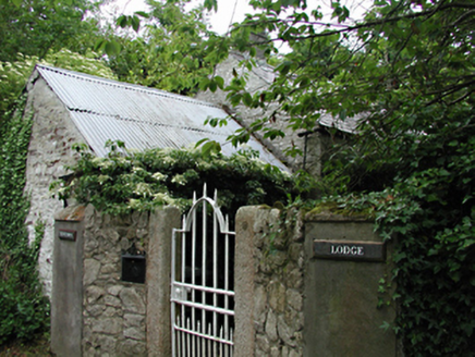 Newtown LodgeOutbuilding · 416 yd
Explorer Tom Newtown Lodge in Newtown Upper is an outbuilding of some antiquity with original features still hanging on for dear…
 Beech Park Golf ClubGolf course · 560 yd
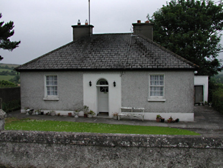 Mount CarmelHouse · 1291 yd
Explorer Tom Mount Carmel in Crockshane is keeping it classy. A 1900s house with a round-headed porch that looks like it’s about to…
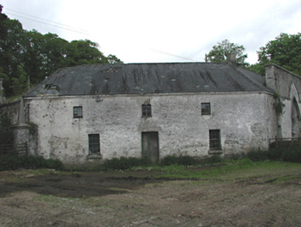 Johnstown HouseOffice · 1337 yd
Explorer Tom Johnstown House has an octagonal office building that looks like it was designed by a committee of confused architects…
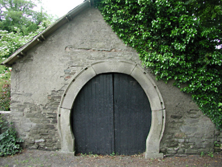 forge/smithy1401 yd
Explorer Tom Forge or smithy in Calliaghstown Lower is a rare survivor with an inscribed stone arch that screams history. The…
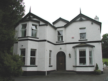 Woodfield HouseHouse · 1750 yd
Explorer Tom Woodfield House in Crockshane is keeping it low-key with roughcast walls and canted bay windows. It’s got a peaceful…
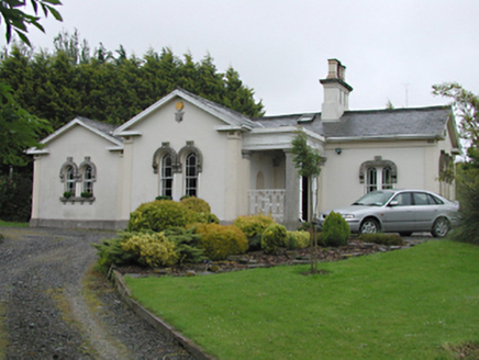 Steelstown LodgeGate lodge · 1.0 mi
Explorer Tom Steelstown Lodge is playing gatekeeper for the old Johnstown Kennedy Estate, rocking those unusual round-headed timber…
 Fairy fort / ringfort in BadgerhillFairy fort / ringfort · 1.3 mi
Explorer Tom Fairy fort / ringfort in Badgerhill is on a hill but not visible at ground level, so its first owner probably had an…
 Graveyard in ColmanstownGraveyard · 1.4 mi
Explorer Tom Graveyard in Colmanstown has a cow that tried to buy it with a shiny button, which is a classic move for livestock with…
 Athgoe CemeteryCemetery · 1.4 mi
Explorer Tom Athgoe Cemetery had a matchmaker who worked there for decades, convincing couples they were meant for each other by…
More archaeology and monuments in County Dublin · All of County Dublin

What do you know about this place?Tap to add a comment or ask a question