
What is recorded here
Situated in pastureland on the brow of a small valley overlooking a stream. The OS Letters describe the remains of a church at Newtown Upper (Herity 2001, 48). A section of wall stood at the SW angle, the remainder survived as foundations (dims L c. 4.5m, Wth 3m). The church remains appear today as an oblong mound (L 6m, Wth 4m).
The church is surrounded by a circular bank and external fosse (int. diam.21m). It has been used for the burial unbaptised children (DU024-001002-) and maybe the remains of an early ecclesiastical enclosure (DU024-001003-; Healy 1975, 1-19; Ua Broin 1943, 87-88).
Compiled by: Geraldine Stout and Padraig Clancy
Revised upload on: 6 July 2018
The monument record does not grant public access. Check the route and ask the landowner before entering private land.
- What survives
- Recorded monument
Places near here
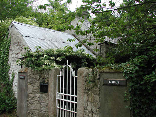 Newtown Lodgeoutbuilding · 418 yd
 BarrowBarrow, ring-barrow · 1202 yd
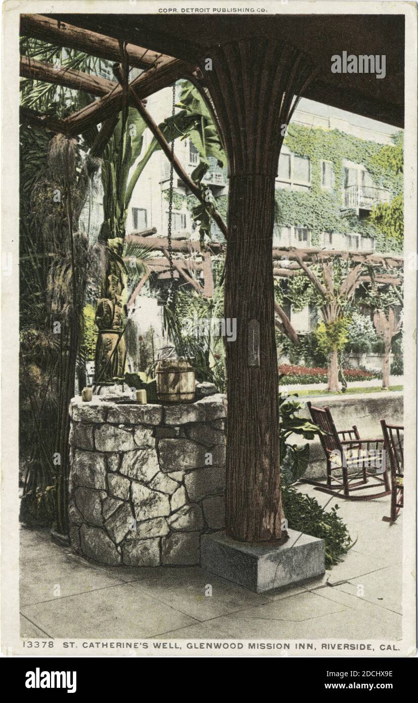 St. Catherines WellHoly well · 1230 yd
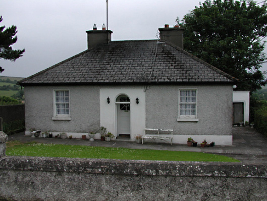 Mount Carmelhouse · 1289 yd
 Saggart HillMountain / peak · 1.1 mi
 Colmanstown Castle (in ruins)Castle, tower house · 1.4 mi
 Inniscara GalleryGallery · 1.6 mi
 Rathcoole WoodlandWood · 1.7 mi
 Athgoe HillMountain / peak · 2.1 mi
 Meadow WildlifeVisitor information · 2.2 mi
 CastleCastle, tower house · 2.2 mi
 Kilteel WoodWood · 2.3 mi
Other information
Photo: Credit not shown in the picture search · Rights wording not checked; contact us if this picture should be removed