
What is recorded here
Located in a low-lying field of pasture at the bottom of Saggart Hill. The site comprises a double-banked barrow (ext. diam.79m). A slightly sunken roughly circular area (diam.27m) is enclosed by a wide flat bottomed fosse (Wth 5m; D 0.55m) an external earthen bank (Wth 10m; H 0.8m) with external shallow fosse (Wth 6m; D 0.45m) and external earthen bank (Wth 8.8m; H 0.6m). The external bank is partially levelled along the N side. A field boundary cuts across the west section of the external bank (Stout 1998, 150, 152). The form of this site is similar to that described in the OS Letters as the 'Rath of Cumhal' (Herity 2001, 42)).
Compiled by Geraldine Stout
A Neolithic ring-barrow, dating to approximately 2500–2000 BCE, characterized by its double bank and enclosing fosse. Such monuments are significant as early funerary and ceremonial structures, reflecting communal burial practices and social organization in Neolithic Ireland.
The monument record does not grant public access. Check the route and ask the landowner before entering private land.
- What survives
- Recorded monument
Places near here
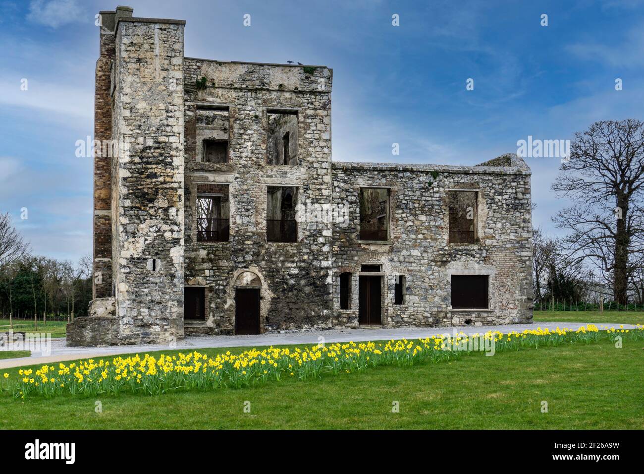 Ceremonial enclosure in WindmillhillCeremonial enclosure · 621 yd
 CairnCairn, burial cairn · 633 yd
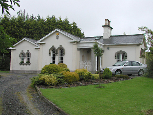 Steelstown Lodgegate lodge · 658 yd
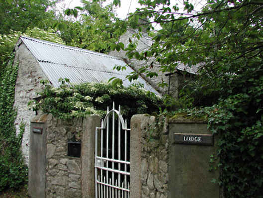 Newtown Lodgeoutbuilding · 945 yd
 Colmanstown Castle (in ruins)Castle, tower house · 1415 yd
 Athgoe HillMountain / peak · 1.5 mi
 Inniscara GalleryGallery · 1.6 mi
 Saggart HillMountain / peak · 1.7 mi
 Castlewarden MoatCastle, motte and bailey · 1.9 mi
 Rathcoole WoodlandWood · 1.9 mi
 Saint Finian's WellSpring · 2.2 mi
 Kilteel WoodWood · 2.3 mi
Other information
Photo: Credit not shown in the picture search · Rights wording not checked; contact us if this picture should be removed