
What is recorded here
On the summit of Windmill Hill, is a broad low circular cairn, (Diam 40m ; H 1.5m ) commanding extensive views in all directions. The cairn is grass covered and was first reported by Ó Lionáin and Davis having been identified in 2014 from lidar survey and analysis (see attachment DU021-013----_2). On the southern quadrant of the denuded cairn is a windmill (DU021-038----). Both monuments lie directly NNE of an enclosure identified by geophysical analysis (Target 2018) DU021-114----. which itself sits centrally within a ceremonial enclosure DU021-115---- . The cairn is situated off-centre within another enclosure (DU021-116----) which can be traced intermittently following the contours of the ridge on of Windmill hill, possibly representing a hillfort first reported by O’ Lionáin and Davis. Approximately 150m to the SE of the cairn, beyond both enclosing monuments, is a ring-ditch DU021- 117----.
Compiled by: Margaret Keane
Updated on: 29 November 2018
Burial cairn, likely dating to the Neolithic or early Bronze Age. Its elevated position suggests ritual or symbolic significance, possibly as a territorial marker or ceremonial site.
The monument record does not grant public access. Check the route and ask the landowner before entering private land.
- What survives
- Recorded monument
Places near here
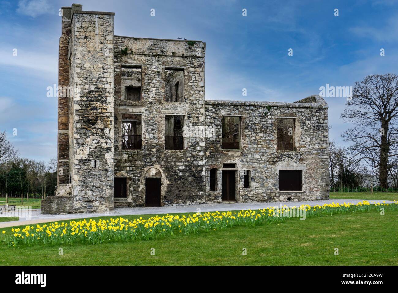 Ceremonial enclosure in WindmillhillCeremonial enclosure · 15 yd
 BarrowBarrow, ring-barrow · 633 yd
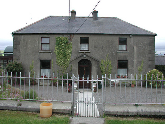 Keatingspark Housefarm house · 828 yd
 Colmanstown Castle (in ruins)Castle, tower house · 917 yd
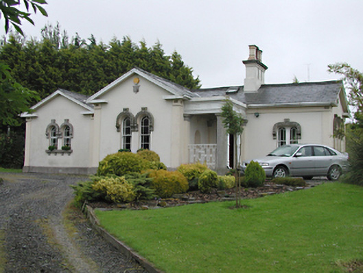 Steelstown Lodgegate lodge · 967 yd
 Athgoe HillMountain / peak · 1.2 mi
 Inniscara GalleryGallery · 1.4 mi
 Rathcoole WoodlandWood · 1.7 mi
 CastleCastle, tower house · 1.9 mi
 Saint Finian's WellSpring · 1.9 mi
 Saggart HillMountain / peak · 2.0 mi
 European YewEuropean Yew · 2.1 mi
Other information
Photo: Credit not shown in the picture search · Rights wording not checked; contact us if this picture should be removed