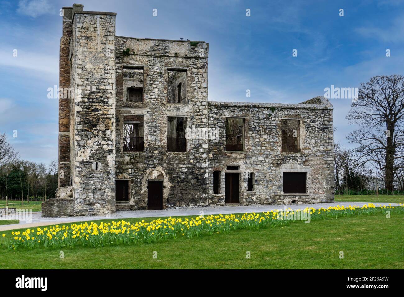
What is recorded here
This regular circular enclosure has been described as a series of narrow and weakly magnetic curving responses and trends (Target, 2018). It is most clearly visible in imagery from W to S to E, it fades from view further NE and NW and is truncated at the N by the current edge of the quarry which runs from NW to NE. It was first identified in geophysical analysis carried out on foot of previous research (Ó Lionáin and Davis, 2014). The enclosure (diam. 170m) encircles the hilltop at Windmill hill containing DU021-010----, a continuous ring-ditch at its centre. Just off-centre to the NE of DU021-010---, is DU021-009---- a cairn, and the windmill DU021-038----. It is most clearly visible in imagery from W to S to E, it fades from view further NE and NW and is truncated at the N by the current edge of the quarry which runs from NW to NE. It lies within the confines of a hillfort possible DU021-112----. Beyond the ceremonial enclosure, approximately 80m to the south-east, is a ring-ditch DU021-013----.
Compiled by: Margaret Keane
Uploaded on: 14 January 2019
The monument record does not grant public access. Check the route and ask the landowner before entering private land.
- What survives
- Recorded monument
Places near here
 CairnCairn, burial cairn · 15 yd
 BarrowBarrow, ring-barrow · 621 yd
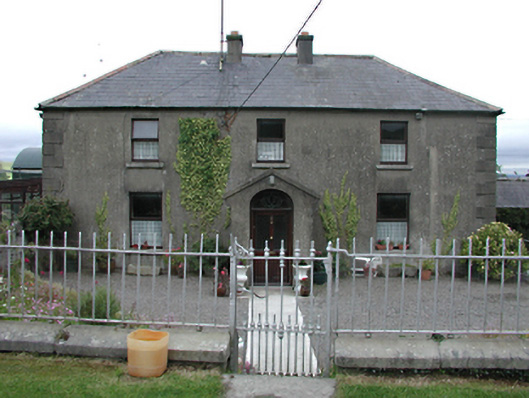 Keatingspark Housefarm house · 835 yd
 Colmanstown Castle (in ruins)Castle, tower house · 931 yd
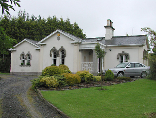 Steelstown Lodgegate lodge · 963 yd
 Athgoe HillMountain / peak · 1.2 mi
 Inniscara GalleryGallery · 1.4 mi
 Rathcoole WoodlandWood · 1.7 mi
 CastleCastle, tower house · 1.9 mi
 Saint Finian's WellSpring · 1.9 mi
 Saggart HillMountain / peak · 2.0 mi
 European YewEuropean Yew · 2.1 mi
Other information
Photo: Credit not shown in the picture search · Rights wording not checked; contact us if this picture should be removed