What is recorded here
Located at the summit of and at the centre of the E-W drumlin ridge known as the Hill of Leck. The MacMahon chiefs were inaugurated at this location until the seventeenth century, and it is described on an Ulster map made in 1609 as ‘Mullagh-lest (leach?), so called of a stone there, on which McMahon is made’ (Hamilton 1912, 64-5). It is known in the folk tradition, and a sketch of a spherical stone is provided (IFC: (953) 159-60: https://www.duchas.ie/en/cbes ). The stone was said to have the imprint of a foot, which the landowner obliterated in 1809, and the remains of the stone were removed after 1845 (ibid.; Shirley 1879, 71). It is described as being ‘about 12 feet by 10 feet and about 3 feet high (dims c. 3.65m x c. 3m; H 0.9m), but other measurements of ‘5 feet x 4 feet and 3 feet high (dims c. 1.5m x 1.2m; H c. 0.9m) are also recorded (IFC: (953) 212-3). The location of the ‘MacMahons Stone’ is represented on the 1834 edition of the OS 6-inch map, but it was removed later in the 19th century (Shirley 1879, 71).
The above description is derived from the published 'Archaeological Inventory of County Monaghan' (Dublin: Stationery Office, 1986). In certain instances the entries have been revised and updated in the light of recent research.
Compiled by: Michael Moore
Date of revision: 22 February 2018
The McMahons' Stone at Leck is associated with the MacMahon chieftainship, as it was the site of their inauguration ceremonies until the seventeenth century. The stone's central position on the Hill of Leck suggests its ritual and political significance in early Irish tradition.
The monument record does not grant public access. Check the route and ask the landowner before entering private land.
- What survives
- Recorded monument
Places near here
 The McMahon StoneArchaeological place · 8 yd
 IndicatedCrannog · 796 yd
 Tullygillen Millmill (water) · 994 yd
 Rossmore MausoleumHeritage attraction · 1741 yd
 Rossmore Castlemausoleum · 1742 yd
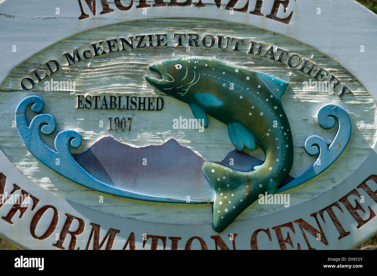 Old Fish HatcheryHeritage attraction · 1.1 mi
 Hazel WoodWood · 2.3 mi
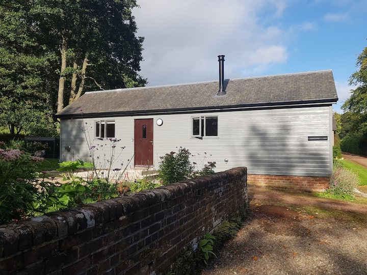 Gamekeeper's WoodForest · 3.1 mi
 Bawn in Roosky (monaghan By., Monaghan Par.)Bawn · 3.3 mi
 Rossmore MonumentMemorial · 3.3 mi
 Rough HillMountain / peak · 3.7 mi
 Lisarrilly HillMountain / peak · 4.5 mi