What is recorded here
Located at the summit of and at the E end of an E-W drumlin ridge. This is a circular grass-covered area (diam. 29m ENE-WSW; 26.5m NNW-SSE) defined by an earthen bank with some bushes and an outer fosse, which is bounded by a field bank except E-SE where the bank appears to have been thrown into the fosse. The original entrance (Wth of base 5m), now closed, and causeway (Wth of top 3m; H 0.7m) are at E, although there is another entrance and causeway at NW.
The above description is derived from the published 'Archaeological Inventory of County Monaghan' (Dublin: Stationery Office, 1986). In certain instances the entries have been revised and updated in the light of recent research.
Compiled by: Michael Moore
Date of revision: 23 February 2018
The monument record does not grant public access. Check the route and ask the landowner before entering private land.
- What survives
- Recorded monument
Places near here
 H. McElvaneypublic house · 770 yd
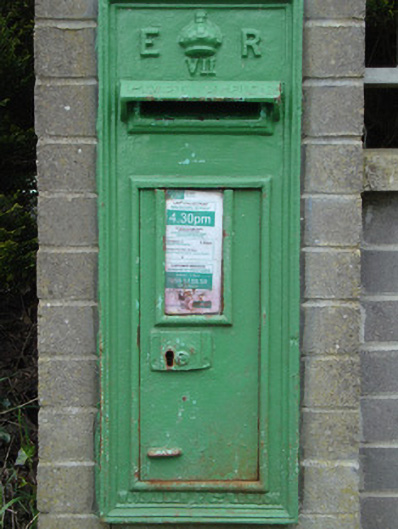 post boxpost box · 788 yd
 Grave YardBurial ground · 1408 yd
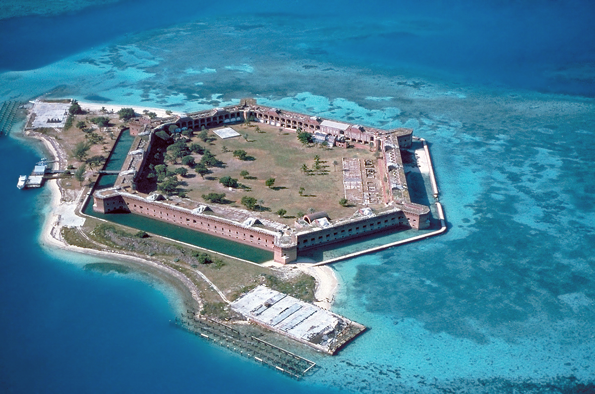 Stranoodan fortFairy fort / earthen ringfort · 1648 yd
 Rossmore MausoleumHeritage attraction · 2.3 mi
 Giant Redwood (1862)Heritage attraction · 2.5 mi
 Hazel WoodWood · 3.8 mi
 Bawn in Roosky (monaghan By., Monaghan Par.)Bawn · 4.2 mi
 Rossmore MonumentMemorial · 4.3 mi
 Ballybay Wetland CentreNature reserve · 4.8 mi
 Castleshane WaterfallWaterfall · 4.9 mi
 LisnaspeenanMountain / peak · 5.9 mi