DDiscover AloneMapAbout

Tullygillen Mill

Mill (water)
Tullygillen Mill
Photo: Kenneth Allen, Geograph · Creative Commons Attribution-ShareAlike 2.0 · Report the wrong picture

This does not grant access. Most recorded buildings are privately owned; view them only from public ground unless the owner allows entry.

Recorded change of use
Originally mill (water); recorded by the architectural inventory as house
What do you know about this place?Tap to add a comment or ask a question

What you write will be public.

What is recorded here

Detached six-bay three-storey water-powered corn mill and kiln, built c.1850. Now converted for residential use. Three bays to south-west end incorporating mill, kiln in two middle bays, store to end bay at north-east. Pitched natural slate roof with raised verges, artificial slate to kiln section. Coursed rubble…

Read the whole record
Detached six-bay three-storey water-powered corn mill and kiln, built c.1850. Now converted for residential use. Three bays to south-west end incorporating mill, kiln in two middle bays, store to end bay at north-east. Pitched natural slate roof with raised verges, artificial slate to kiln section. Coursed rubble limestone walls with dressed stone quoins. Large water-wheel to west gable, with cast-iron axle, hub and rim, timber spokes and angled buckets. Square-headed window openings with replacement timber casement windows with concrete sills throughout. Brick block-and-start surrounds to window openings to north, south and east elevations. Triple-centred-arch door openings with red brick surrounds, each with square-headed doors and red brick infill over. Original nineteenth-century timber panelled door to former store on west elevation, Timber battened and plywood-covered doors to two openings to south elevation, three door openings to former mill, kiln and store on north elevation. Situated on slope to south of third-class road off secondary road.
Now gutted of plant and machinery, Tullygillen Mill has been converted to residential use and survives as a fine example of a large mid-nineteenth-century corn mill. A corn mill and mill pond are cited on the 1835 OS map, and by 1858 a new mill had been constructed to the north-east, described in the 1860 Griffith Valuation as 'corn mill, kiln, stores', all operated by Thomas McCormack. Tullygillen Corn Mill is cited on the 1907-08 map and became known locally as Finlay's Mill, maintaining operations until its closure in 1953. The mill was supplied with water from Beagh Lake and the Ordnance Survey maps show a mill pond and sluice gates to the south-east, the controlled fall of water powering the mill. Tullygillen Mill was a focal point for the local community, playing a key role in the economic prosperity of the area after the Great Famine. The building also serves as a reminder of past industrial processes and represents an integral element of the industrial heritage of predominantly agricultural rural Monaghan, which had a high proportion of grain mills. Technically, the water-wheel is of note, all the more so as it is the largest surviving wheel in County Monaghan. The visually pleasing contrast of red brick and rubble stone coupled with the overall mass and height of the complex, make this large mill building a significant and important element in the landscape.

From the Buildings of Ireland (National Inventory of Architectural Heritage) record 41401318

Places near here

Photo credits
  • Maker not stated on source page, www.pinterest.com
  • National Inventory of Architectural Heritage
  • Walking with a phone, Wikimedia Commons · CC BY-SA 4.0
  • Kenneth Allen, Geograph · Creative Commons Attribution-ShareAlike 2.0
  • Kenneth Allen, Geograph · CC BY-SA 2.0
  • Maker not stated on source page, www.smithsonianmag.com
The McMahons StoneInauguration site · 994 yd

Explorer Tom The McMahons Stone in Leck is sick of people asking if it’s still royal. It was an inauguration site until the…
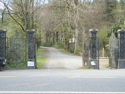
Rossmore CastleDemesne walls/gates/railings · 1536 yd

Explorer Tom Rossmore Castle's entrance gateway is still standing proud even though the main house has vanished into history, which…

Fairy fort / earthen ringfort in LissarawFairy fort / earthen ringfort · 1650 yd

Explorer Tom Fairy fort / earthen ringfort in Lissaraw is stuck in a dispute over parking rights with local fairies. They’re all…

Mapped cemeteryCemetery · 1679 yd

Explorer Tom This mapped cemetery in County Monaghan is absolutely proud to be the quietest spot on the map, like a proud grandma.…

Rossmore MausoleumHeritage attraction · 1700 yd

Explorer Tom Rossmore Mausoleum in County Monaghan is all dressed up for an event that hasn't happened in over a century. It would…
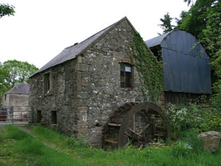
Tullyleer HouseMill (water) · 1719 yd

Explorer Tom Tullyleer House is planning its retirement by buying a second home in Portugal, purely for the sun and the lack of…
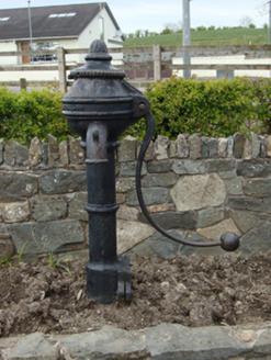
water pump1.1 mi

Explorer Tom Water pump in Cavanagarvan has a hidden message in its stones that says 'don't be thirsty'. It’s been pulling water for…

Saint Michael's National SchoolSchool · 1.1 mi

Explorer Tom Saint Michael’s National School in Cavanagarvan has a secret talent for looking stern while doing nothing. It’s just a…
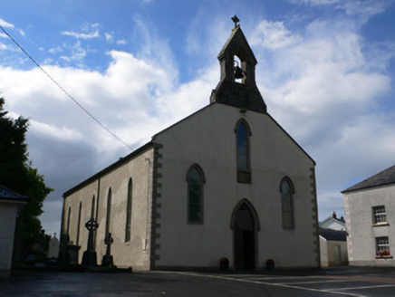
Saint Michael's Catholic ChurchChurch/chapel · 1.1 mi

Explorer Tom Saint Michael's Catholic Church is where a local guy claims he invented the stained-glass window, which is a stretch…

H. McElvaneyPublic house · 1.1 mi

Explorer Tom H. McElvaney in Cavanagarvan is a pub and home combo from 1932, which is very practical for Irish life. It replaced an…
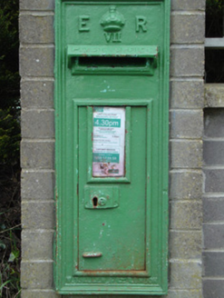
post box1.1 mi

Explorer Tom Post box in Corcaghan is collecting letters for Queen Edward VII. He’s been dead for ages, but he still expects his…
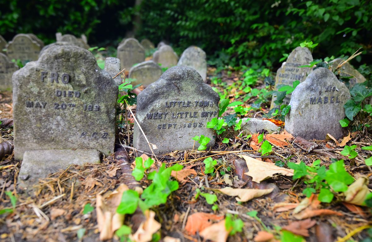
Pet CemeteryVisitor attraction · 1.4 mi

Explorer Tom Pet Cemetery has had so many names for itself over the years that even the sign is confused about what it should be…

More historic places in County Monaghan · All of County Monaghan

Add to this placeAdd a picture Add a detailed tip Add a story

Explore the map1,095,414 places to discover

Next place · or swipeThe McMahons Stone