
Places near here
Photo credits
- National Inventory of Architectural Heritage
- Kmcnamee, Wikimedia Commons · CC BY-SA 4.0
 bridge190 yd
Explorer Tom Bridge in Town Parks is being picked on by the wind because it won’t admit it’s cold. The rock-faced masonry looks like…
 Athboy Garda Síochána StationHouse · 194 yd
Explorer Tom Athboy Garda Síochána Station is a house with coupled doorcases and corbels that looks like it’s waiting for a very…
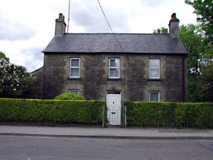 Mill HouseHouse · 210 yd
Explorer Tom Mill House has a cast-iron pump that looks like it’s judging your life choices. The purple slate roof and yellow brick…
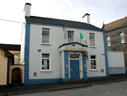 Bank of IrelandRic barracks · 233 yd
Explorer Tom Bank of Ireland used to be a barracks where soldiers probably argued about whose turn it was to clean the floor. Now…
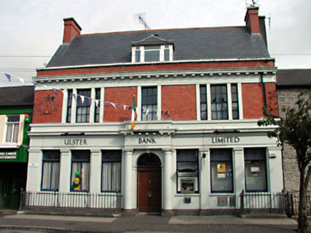 Ulster BankBank/financial institution · 240 yd
Explorer Tom Ulster Bank in Town Parks has a family tree that’s mostly made up of very serious men in wigs. It’s a regional bank…
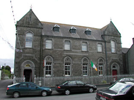 school252 yd
Explorer Tom School in Town Parks would spend its lotto win on new roof vents and timber windows. It’s got stone detailing that…
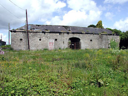 Athboy LodgeStables · 255 yd
Explorer Tom Athboy Lodge stables are standing there with circular windows that make them look like a very fancy spaceship docked in…
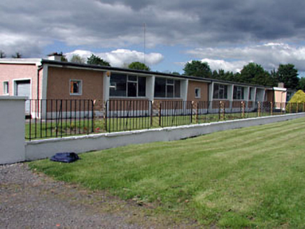 Saint James's Vocational SchoolSchool · 350 yd
Explorer Tom Saint James's Vocational School in Fostersfields is suspicious of the postman, thinking he delivers bad news about…
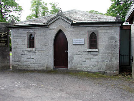 Saint James's Church (Athboy)Sexton's house · 351 yd
Explorer Tom Saint James's Church (Athboy) sings 'The Parting Glass' because it’s a sexton’s house and likes a good farewell. The…
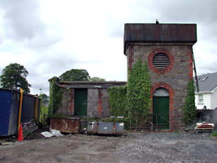 Athboy Railway StationWater tower · 360 yd
Explorer Tom Athboy’s water tower treats nosey neighbours like it’s guarding state secrets from above. It’s got an unusual…
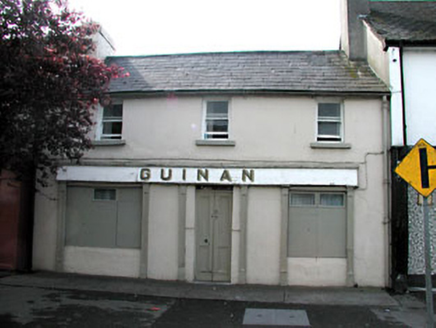 GuinanHouse · 367 yd
Explorer Tom Guinan in Town Parks is a modest building with a simple timber shopfront that really represents early twentieth-century…
 Kells Road, Athboy, Clann na nGaelGAA ground · 595 yd
More things to do in County Meath · All of County Meath

What do you know about this place?Tap to add a comment or ask a question