
What is recorded here
Marked 'Templemealaghan site of' on the OS 6-inch maps. There is now no trace of the church (DG099-016-) or burial ground (DG099-016001-) marked here. In 1847, Fagan recorded that a church had been 'recently demolished' by the landowner and that it was said to have had 'doors and windows of the gothic order, cased…
Read the whole record
From the National Monuments Service (Archaeological Survey of Ireland) record DG099-016001
Places near here
Photo credits
- National Inventory of Architectural Heritage
- eireialcreations / Dronestagr.am; Eireial Creations watermark on photograph, www.dronestagr.am
- Maker not stated on source page, www.thepantry.nl
- Maker not stated on source page, www.dreamstime.com
- Maker not stated on source page, ru.pinterest.com
- David Dixon, Geograph · CC BY-SA 2.0
- Maker not stated on source page, www.pinterest.com
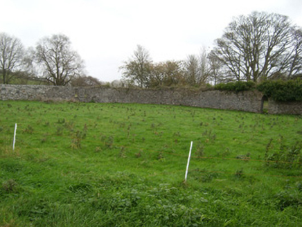 Coxtown HouseWalled garden · 592 yd
Explorer Tom Coxtown House has a walled garden where the local sheep have formed a strong opinion about the wrought-iron gate. They…
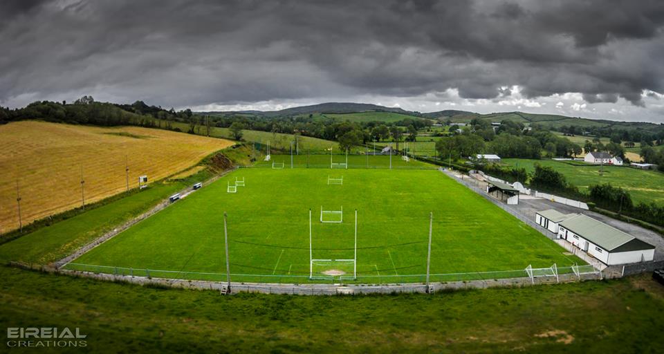 Páirc Naomh Bríd, Naomh Brd GAA, Ballintra/LagheyGAA ground · 721 yd
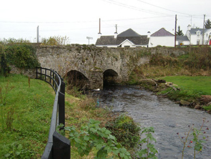 Bridgetown BridgeBridge · 1188 yd
Explorer Tom Bridgetown Bridge has a V-shaped nose sticking out at the river like it’s daring the water to hit it. Built around…
 mill (water)1269 yd
Explorer Tom Another mill in Urbalshinny, this one for corn, is derelict with the roof caving in but the stone walls are holding…
 The Mill HouseMill manager's house · 1376 yd
Explorer Tom The Mill House in Urbalshinny is secretly proud of one specific potato that grew right outside its front door and never…
 Ballybulgan BridgeBridge · 1.0 mi
Explorer Tom Ballybulgan Bridge sits right next to a ruinous flax mill from around 1820. I reckon the bridge is just keeping one eye…
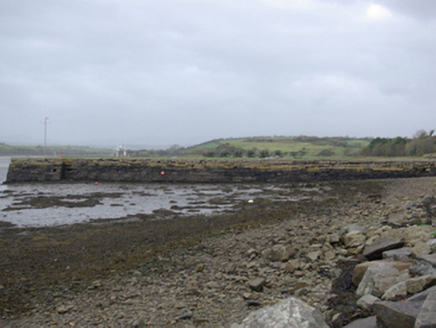 Mullansole PierPier/jetty · 1.1 mi
Explorer Tom Mullansole Pier has a wrought-iron anchor on its deck and iron rings for mooring ropes. A local account says John…
 The Pantry RestaurantRestaurant · 1.1 mi
Explorer Tom The Pantry Restaurant sounds like it stores food rather than serving it, but after a few pints it would tell you the…
 Fairy fort / earthen ringfort in Brownhall DemesneFairy fort / earthen ringfort · 1.7 mi
Explorer Tom Fairy fort / earthen ringfort in Brownhall Demesne sits on top of Largagh Hill, where the view over Donegal Bay is…
 The Bridge the Lord made for the MajorRecorded cave place · 1.9 mi
Explorer Tom The Bridge the Lord made for the Major is dealing with a fairy dispute over parking rights that has lasted three…
 Rooney's IslandIslet · 1.9 mi
Explorer Tom Rooney's Island was once home to the O'Maoldory Clan, who ruled as Kings of Tir Conaill. I imagine a very serious…
 Moneymore Fairy FortFairy fort / earthen ringfort · 1.9 mi
Explorer Tom Moneymore Fairy Fort sits on the crest of Horse Hill with gaps to the east and west. The earthen bank, likely scraped…
More memorials and graveyards in County Donegal · All of County Donegal

What do you know about this place?Tap to add a comment or ask a question