What is recorded here
Marked 'Templemealaghan site of' on the OS 6-inch maps. There is now no trace of the church (DG099-016-) or burial ground (DG099-016001-) marked here. In 1847, Fagan recorded that a church had been 'recently demolished' by the landowner and that it was said to have had 'doors and windows of the gothic order, cased with cut stone, and preserving some human heads and other devices' (Bk. 14, 14). A sketch of this ruin is preserved among the OS memoirs. The site, a natural mound known as 'the church mound', is situated in good land.
The above description was derived from the 'Archaeological Survey of County Donegal. A description of the field antiquities of the County from the Mesolithic Period to the 17th century.' Compiled by: Brian Lacey with Eamon Cody, Claire Cotter, Judy Cuppage, Noel Dunne, Vincent Hurley, Celie O'Rahilly, Paul Walsh and Seán Ó Nualláin (Lifford: Donegal County Council, 1983). In certain instances the entries have been revised and updated.
Date of upload: 22 September 2008
The monument record does not grant public access. Check the route and ask the landowner before entering private land.
- What survives
- Recorded monument
Places near here
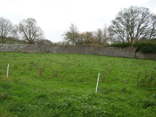 Coxtown Housewalled garden · 593 yd
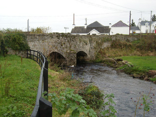 Bridgetown Bridgebridge · 1190 yd
 Lisnapaste Fairy FortFairy fort / earthen ringfort · 1251 yd
 Trumman East Fairy Fort between the LakesFairy fort / earthen ringfort · 1355 yd
 Rooney's IslandIslet · 1.9 mi
 MurvaghOfficial bathing water · 2.3 mi
 Ballyboyle IslandIslet · 2.6 mi
 Ballyboyle Castle (Site of)Castle, tower house · 2.8 mi
 Castle (Site of)Castle, unclassified · 2.9 mi
 Wych ElmWych Elm · 3.1 mi
 Siege of Donegalsiege · 3.2 mi
 Mac Manus Estate, RossylonganForest recreation place · 3.2 mi
Other information
Photo: Credit not shown in the picture search · Rights wording not checked; contact us if this picture should be removed