
What is recorded here
Ballymagrorty Irish Castle vanished completely, leaving no stone or scar behind. In 1847 surveyors measured rubble fifty feet long and fourteen feet wide, standing one to five feet high across an east-west line. That fragment has since disappeared, perhaps buried by soil or stolen for other walls. The castle now exists only in the memory of a place that stopped remembering itself.
Castle (site of): In 1847, the remains of a building 50 ft by 14 ft survived 1-5 ft in height; it lay E-W (Fagan Bk. 15, 4-6). No visible trace of this structure survives.
The above description was derived from the 'Archaeological Survey of County Donegal. A description of the field antiquities of the County from the Mesolithic Period to the 17th century.' Compiled by: Brian Lacey with Eamon Cody, Claire Cotter, Judy Cuppage, Noel Dunne, Vincent Hurley, Celie O'Rahilly, Paul Walsh and Seán Ó Nualláin (Lifford: Donegal County Council, 1983). In certain instances the entries have been revised and updated.
Date of upload: 22 September 2008
This remains an important historical record, but the official description says the monument is no longer visible or has been destroyed. The monument record does not grant public access. Check the route and ask the landowner before entering private land.
- What survives
- No visible remains or recorded as destroyed
Places near here
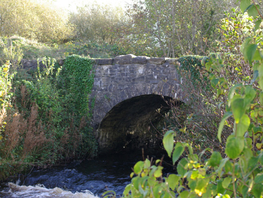 Connor's Bridgebridge · 879 yd
 McGonigle's Fort Hilltop EnclosureHilltop enclosure · 986 yd
 bridgebridge · 1040 yd
 Dromore Earthen Mound / Possible EnclosureEnclosure · 1250 yd
 HawthornHawthorn · 2.1 mi
 MurvaghOfficial bathing water · 2.6 mi
 RossnowlaghOfficial bathing water · 3.0 mi
 Rooney's IslandIslet · 3.8 mi
 Kilbarron Old Church GraveyardGraveyard · 4.3 mi
 Ballyboyle IslandIslet · 4.8 mi
 Ballyboyle Castle (Site of)Castle, tower house · 4.8 mi
 Dark Cliffs at KilbarronPublicly named cliff or headland · 4.8 mi
Other information
Photo: Credit not shown in the picture search · Rights wording not checked; contact us if this picture should be removed