
What is recorded here
McGonigle's Fort is a massive oval hilltop enclosure on a drumlin ridge in County Donegal, built with a thick western bank to face its most vulnerable side. It overlooks a boggy valley running toward the sea, giving whoever stood inside a clear view of every approach. Local tradition claims the site marks the burial place of a king of Tir Conaill, while the earthworks themselves still suggest a community that valued warning, defence and memory as much as life.
McGonigle's Fort, a massive earthwork, clearly of a defensive nature. The site consists of an oval area (80m E-W; 60m N-S) probably scarped on the N and S sides with an earthen bank at the E and a massive earthen bank 3m to 4m high on the W where the site is most vulnerable. Outside this oval area and below it on the hillside is a massive fosse with an outer earthen bank enclosing the site for most of its circuit. This outer bank has been incorporated into field boundaries and a lane-way, which leads to the site from the S, and it is not clear to what extent it is a primary feature of the site. In the NE sector of the interior there is an earthen mound (DG103-017002-) at a point where there is a change in ground level. The mound is c. 5m high on the E side. The site is located on the E side of a long drumlin-type ridge. It has excellent views in all directions and although set on good land overlooks a boggy valley running in from the sea to the N. Local tradition says that the site is the burial place of a king of Tir Conaill. The site has been claimed as a possible motte-and-bailey (McNeil 1975, 54) but it has been more usually treated as a hillfort (Raftery 1972, 40 and Evans 1966, 87). However, the site definitely does not exploit the contours of the summit of the hill, as this is located outside the enclosure a little to the W. The site has been identified with Ard Fothadh mentioned in early Irish sources. (Allingham 1879, 111-2).
The above description was derived from the 'Archaeological Survey of County Donegal. A description of the field antiquities of the County from the Mesolithic Period to the 17th century.' Compiled by: Brian Lacey with Eamon Cody, Claire Cotter, Judy Cuppage, Noel Dunne, Vincent Hurley, Celie O'Rahilly, Paul Walsh and Seán Ó Nualláin (Lifford: Donegal County Council, 1983). In certain instances the entries have been revised and updated.
Date of upload: 22 September 2008
The monument record does not grant public access. Check the route and ask the landowner before entering private land.
- What survives
- Recorded monument
Places near here
 Dromore Earthen Mound / Possible EnclosureEnclosure · 673 yd
 Castle (Site of)Castle, unclassified · 986 yd
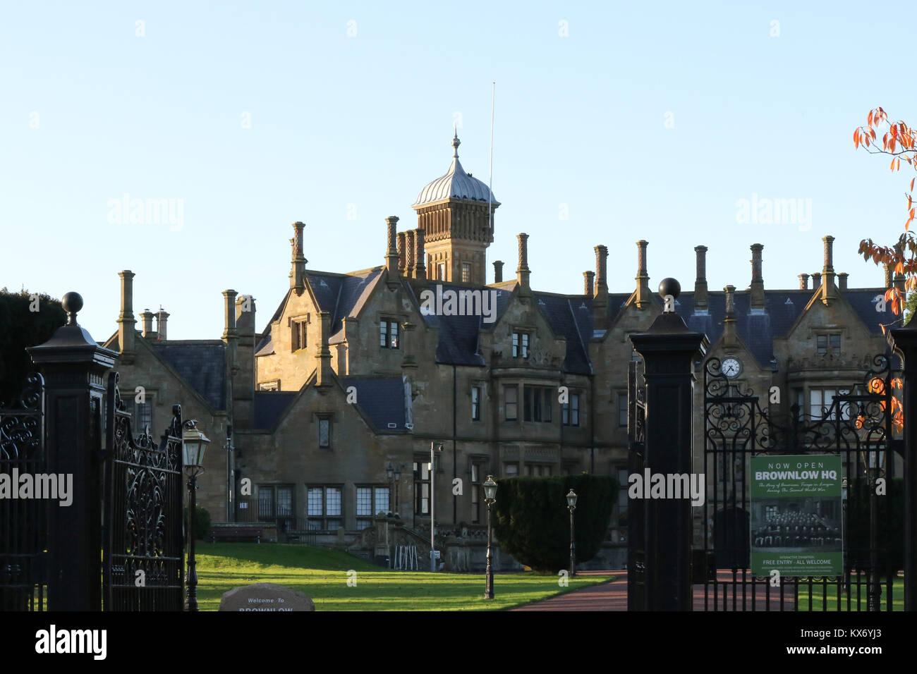 Lurgan EnclosureEnclosure · 1055 yd
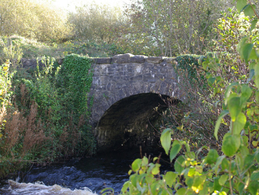 Connor's Bridgebridge · 1608 yd
 bridgebridge · 1617 yd
 HawthornHawthorn · 2.0 mi
 RossnowlaghOfficial bathing water · 2.5 mi
 MurvaghOfficial bathing water · 2.8 mi
 Kilbarron Old Church GraveyardGraveyard · 3.7 mi
 Rooney's IslandIslet · 4.1 mi
 Dark Cliffs at KilbarronPublicly named cliff or headland · 4.3 mi
 Kilbarron Castle in ruinsCastle, tower house · 4.3 mi
Other information
Photo: Credit not shown in the picture search · Rights wording not checked; contact us if this picture should be removed