Places near here
Photo credits
- Kenneth Allen, Geograph · CC BY-SA 2.0
- National Inventory of Architectural Heritage
- Didier Descouens, Wikimedia Commons · CC BY-SA 4.0
- Jonathan Wilkins, Wikimedia Commons · CC BY-SA 2.0
- eireialcreations / Dronestagr.am; Eireial Creations watermark on photograph, www.dronestagr.am
- louise price, Wikimedia Commons · CC BY-SA 2.0
- Golfing in Ireland; photographer not stated, Source publisher
- louise price, Wikimedia Commons
 St. John's Church of Ireland ChurchChurch/chapel · 1.1 mi
Explorer Tom St. John's Church of Ireland Church in Killinangel Beg claims a giant once used it as a shoebox, which is clearly a…
 bridge1.1 mi
Explorer Tom Bridge in Killinangel Beg held a road over the old Donegal Town to Ballyshannon railway. Its arch has gently…
 Hawthorn1.6 mi
Explorer Tom Hawthorn in County Donegal made a New Year's resolution to grow more thorns but ended up growing way too many and now…
 Sheebarran RingfortFairy fort / earthen ringfort · 2.3 mi
Explorer Tom Sheebarran Ringfort is a massive circular space with a ditch so wide it could swallow a small car. It sits on the crest…
 MurvaghOfficial bathing water · 3.3 mi
Explorer Tom Murvagh is the Donegal beach that seems to have brought a whole forest along for company. You cross toward the dunes…
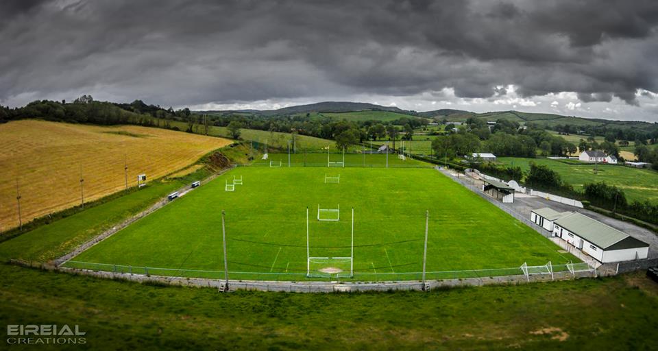 Páirc Naomh Bríd, Naomh Brd GAA, Ballintra/LagheyGAA ground · 3.8 mi
 Dark Cliffs at KilbarronPublicly named cliff or headland · 3.8 mi
Explorer Tom Dark Cliffs at Kilbarron would absolutely complain to the council about tourists not knowing their place, and honestly…
 Kilbarron Castle in ruinsCastle, tower house · 3.8 mi
Explorer Tom Kilbarron Castle in ruins clings to a precipitous promontory, where the O'Clerys rebuilt their stronghold after 1390. I…
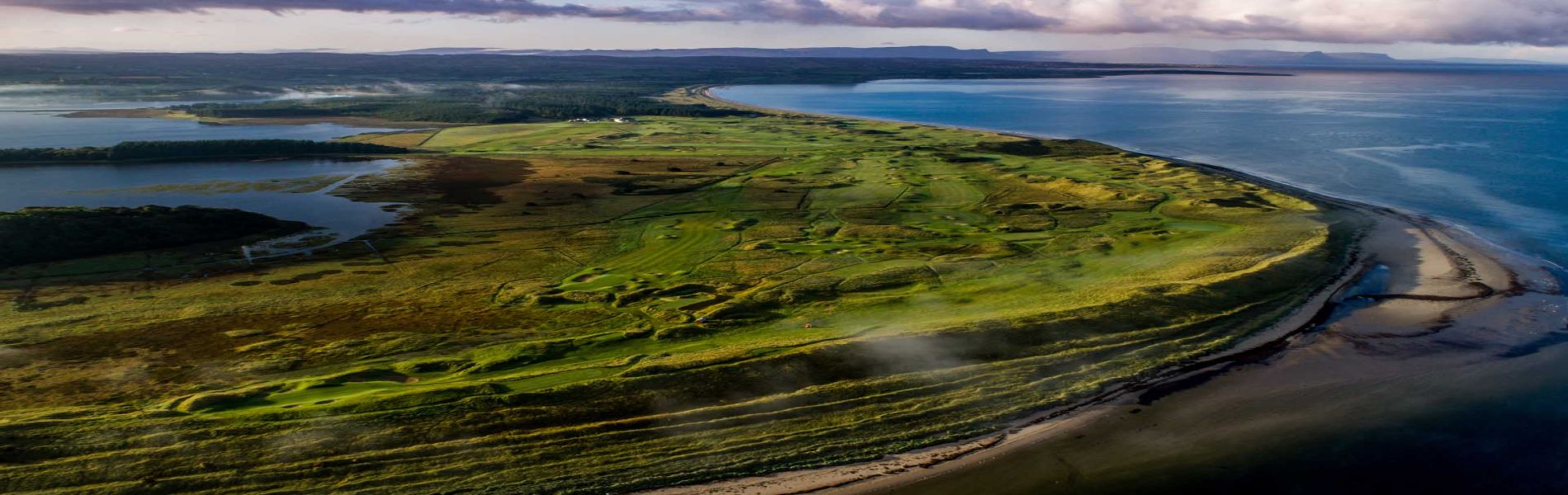 Donegal Golf ClubGolf course · 3.8 mi
 Shannon's CornerRestaurant · 3.9 mi
Explorer Tom Shannon's Corner restaurant in Donegal would bring a very unremarkable cake to a party because it’s terrified of being…
 McGinley's BarPub · 3.9 mi
Explorer Tom McGinley’s Bar is on Bishop Street, so maybe bring your prayers just in case something weird happens over there. Order…
 Creevy Coastal WalkOfficial walking route · 4.2 mi
Explorer Tom Creevy Coastal Walk begins at a pier and soon puts Donegal Bay on magnificent display, with a clifftop path that…
More archaeology and monuments in County Donegal · All of County Donegal

What do you know about this place?Tap to add a comment or ask a question