What is recorded here
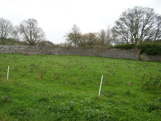
Walled garden associated with Coxtown House (see 40909913) on sub rectangular plan, erected c. 1810, having high rubble stone boundary walls. Now partially in use as garden with recent fruit trees planted to site. Integral pointed-arched opening to the south-east side having roughly dressed stone surround and decorative wrought-iron gate. Two square-headed window openings to the north-east side. Located to the rear (north-west) of Coxtown House with complex of outbuildings adjacent to south-west.
This substantial walled garden retains its early form and character, and forms part of an interesting group of structures associated with Coxtown House (see 40909913). The simple but well-built boundary walls survive good condition, their unrefined rubble stone construction indicative of their original utilitarian use. The pointed-arched doorway to the south-east side of the garden retains an attractive decorative wrought-iron gate, which adds some interest to this functional site. The two former window openings to the north-east were probably original part of a building, perhaps a glasshouse or potting shed, now demolished. There was formerly a small structure to the centre of the garden, possibly a summerhouse, now demolished (Ordnance Survey first edition six-inch map of 1837). These walled gardens probably originally date to the last decades of the eighteenth century or the first decades of the nineteenth century, and predate the construction of the main block to the front of Coxtown House, which was built c. 1840. The scale of these walled gardens provides an interesting historical insight into the extensive resources required to run and maintain a middle-sized country estate in Ireland during the late-eighteenth and the nineteenth-century, when they would have been used to produce a variety of foodstuffs for use in the main house and throughout the estate, and possibly also to provide an income source. This walled garden adds context to the setting of the main house, and is a modest addition to the built heritage of the local area.
This does not grant access. Most recorded buildings are privately owned; view them only from public ground unless the owner allows entry.
Places near here
 Abbey in RuinsChurch · 593 yd
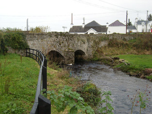 Bridgetown Bridgebridge · 608 yd
 Lisnapaste Fairy FortFairy fort / earthen ringfort · 983 yd
 Lisnapaste Fairy Fort between Two LoughsFairy fort / earthen ringfort · 1403 yd
 Rooney's IslandIslet · 2.1 mi
 MurvaghOfficial bathing water · 2.3 mi
 Castle (Site of)Castle, unclassified · 2.5 mi
 Ballyboyle IslandIslet · 2.9 mi
 Ballyboyle Castle (Site of)Castle, tower house · 3.1 mi
 Wych ElmWych Elm · 3.3 mi
 Mac Manus Estate, RossylonganForest recreation place · 3.5 mi
 Siege of Donegalsiege · 3.5 mi
Other information
Photo: National Inventory of Architectural Heritage · Website use allowed for educational or private purposes with source credit