DDiscover AloneMapAbout

The Mill House in Urbalshinny

Mill manager's house
The Mill House in Urbalshinny
Photo: National Inventory of Architectural Heritage · Report the wrong picture

This does not grant access. Most recorded buildings are privately owned; view them only from public ground unless the owner allows entry.

Recorded change of use
Originally mill manager's house; recorded by the architectural inventory as house
What do you know about this place?Tap to add a comment or ask a question

What you write will be public.

What is recorded here

Detached three-bay single-storey house or former mill manager’s house with attic level and basement, built c. 1870, having central projecting breakfront to the main elevation (west) with canted-bay window, and central single-bay two-storey over basement return to the rear (east). Now in use as a private house with…

Read the whole record
Detached three-bay single-storey house or former mill manager’s house with attic level and basement, built c. 1870, having central projecting breakfront to the main elevation (west) with canted-bay window, and central single-bay two-storey over basement return to the rear (east). Now in use as a private house with modern extension to the rear. Pitched natural slate roof with overhanging eaves and with catslide roof to rear return. Two rendered chimneystacks, one offset to the south side of centre and one located close to the north gable end. Cement rendered walls having cement rendered eaves course and recessed cement rendered plinth to base. Hipped natural slate roof to canted-bay window. Square-headed window openings with replacement timber casement windows. Some surviving six-over-six pane timber sliding sash windows to the rear (east); square-headed window with cast-iron lattice glazing bars survives to basement. Square-headed door opening at ground floor level to the north face of rear return having replacement timber panelled door and with overlight with geometric glazing bars. Wrought-iron security bars to some window openings at basement level. Cast-iron railings adjacent to doorway having fluer-de-lys finials over; cast-iron platform over basement level serving doorway. Set back from road to the west of remains of former flour mill (see 40909916) and former corn mill (see 40909915) and to the north of Ballintra. Rubble stone boundary walls to site.
This interesting and unusual house, which dates to the second half of the nineteenth-century, retains much of its early character and form despite some modern alterations. The form of this building, having central breakfront with canted bay window, suggests a conscious architectural design on behalf of the original builders. The loss of the original fittings to the openings detracts some its visual expression and appeal, but suitable modern replacements could be easily re-instated. The retention of a cast-iron lattice window and the overlight to the doorway with geometric glazing bars are interesting survivals that provide an insight into the original appearance of this building. This building was probably originally built as a miller’s house or mill manager’s residence associated with the now derelict Coxtown Mills (see 40909915 and 40909916) adjacent to the east. The associated mill was possibly originally built at the expense of the Hamilton family of nearby Coxtown Manor (see 40909913) who built and ran mills somewhere around this area c. 1840 (record of Hamilton, Alexander and Andrew, Millers, Coxtown Mills, in 1846). Griffith’s Valuation of 1857 records that a William Armstrong was the miller here at this time, when the holding was described as consisting of a ‘house and land, flour mill, house, office and yard’ with a rateable value of £98 and 10s, and a ‘house, corn mill and kiln’ with a rateable value of £38 and 15s. This house was probably later the home of an Isabella Armstrong (Mill View House, Bridgetown) in 1894 (Slater’s Directory). This unusual building forms part of a group of related structures along with the adjacent mill, and is a modest addition to the built heritage and social history of the local area.

From the Buildings of Ireland (National Inventory of Architectural Heritage) record 40909918

Places near here

Photo credits
  • National Inventory of Architectural Heritage
  • eireialcreations / Dronestagr.am; Eireial Creations watermark on photograph, www.dronestagr.am
  • Maker not stated on source page, www.flickr.com
  • Maker not stated on source page, www.pinterest.com
  • Maker not stated on source page, www.dreamstime.com
  • Maker not stated on source page, ru.pinterest.com
  • Maker not stated on source page, www.thepantry.nl
  • Kenneth Allen, Geograph · CC BY-SA 2.0
  • Golfing in Ireland; photographer not stated, Source publisher
mill (water)38 yd

Explorer Tom This big flour mill in Urbalshinny is collapsing slightly but still looks impressive enough to make a great backdrop…
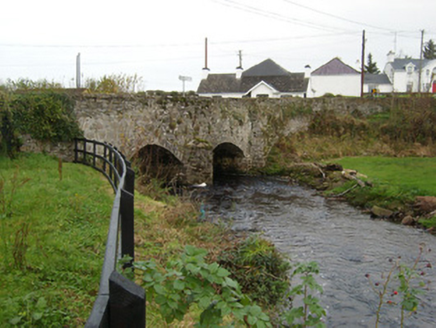
Bridgetown BridgeBridge · 386 yd

Explorer Tom Bridgetown Bridge has a V-shaped nose sticking out at the river like it’s daring the water to hit it. Built around…

Ballybulgan BridgeBridge · 516 yd

Explorer Tom Ballybulgan Bridge sits right next to a ruinous flax mill from around 1820. I reckon the bridge is just keeping one eye…
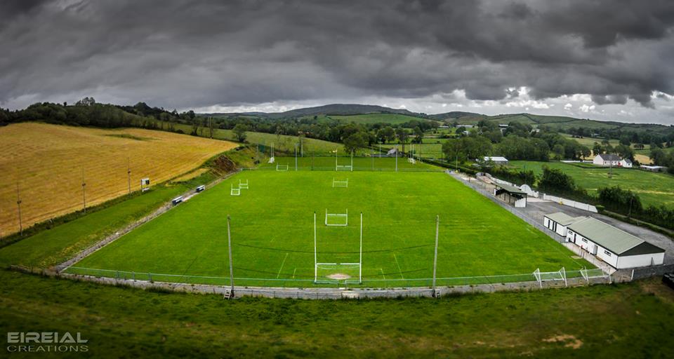
Páirc Naomh Bríd, Naomh Brd GAA, Ballintra/LagheyGAA ground · 1313 ydTemplemealaghan GraveyardGraveyard · 1376 yd

Explorer Tom Templemealaghan Graveyard survives here as a mapped name and an older account rather than a visible burial ground in…

Moneymore Fairy FortFairy fort / earthen ringfort · 1.2 mi

Explorer Tom Moneymore Fairy Fort sits on the crest of Horse Hill with gaps to the east and west. The earthen bank, likely scraped…

Fairy fort / earthen ringfort in Brownhall DemesneFairy fort / earthen ringfort · 1.2 mi

Explorer Tom Fairy fort / earthen ringfort in Brownhall Demesne sits on top of Largagh Hill, where the view over Donegal Bay is…

The Bridge the Lord made for the MajorRecorded cave place · 1.4 mi

Explorer Tom The Bridge the Lord made for the Major is dealing with a fairy dispute over parking rights that has lasted three…

Mapped cemeteryCemetery · 1.7 mi

Explorer Tom Mapped cemetery would cope fine on a reality show by just standing there being quiet while the hosts try desperately to…

The Pantry RestaurantRestaurant · 1.8 mi

Explorer Tom The Pantry Restaurant sounds like it stores food rather than serving it, but after a few pints it would tell you the…

MurvaghOfficial bathing water · 2.0 mi

Explorer Tom Murvagh is the Donegal beach that seems to have brought a whole forest along for company. You cross toward the dunes…
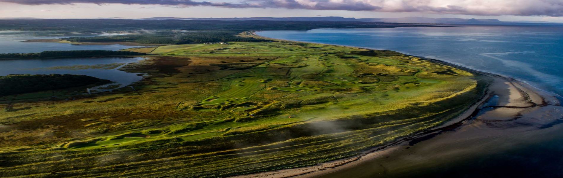
Donegal Golf ClubGolf course · 2.1 mi

More historic places in County Donegal · All of County Donegal

Add to this placeAdd a picture Add a detailed tip Add a story

Explore the map1,095,414 places to discover

Next place · or swipemill (water)