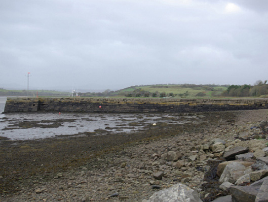
What is recorded here
Pier/jetty, erected c. 1840, having slightly battered roughly squared and coursed rubble stone walls. Still in use, altered c. 1990. Concrete coping with salvaged iron rope/tie rings at intervals. Concrete deck with grass sections close to west end. Wrought-iron anchor to deck. Flights of cut stone steps providing…
Read the whole record
From the Buildings of Ireland (National Inventory of Architectural Heritage) record 40909950
Places near here
Photo credits
- National Inventory of Architectural Heritage
- Maker not stated on source page, www.flickr.com
- Golfing in Ireland; photographer not stated, Source publisher
- Kenneth Allen, Geograph · CC BY-SA 2.0
- David Dixon, Geograph · CC BY-SA 2.0
- eireialcreations / Dronestagr.am; Eireial Creations watermark on photograph, www.dronestagr.am
- Maker not stated on source page, www.pinterest.com
- Maker not stated on source page, www.tripadvisor.com.au
- Maker not stated on source page, www.thepantry.nl
- Maker not stated on source page, ru.pinterest.com
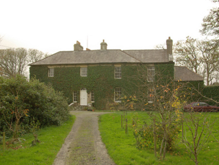 Murvagh HouseHouse · 1019 yd
Explorer Tom Murvagh House in Drumbristan Glebe has a ghost who is too lazy to actually haunt the place properly. It’s an old…
 Murvagh BridgeBridge · 1071 yd
Explorer Tom Murvagh Bridge is a triple-arch bridge that looks like it’s showing off its fancy V-shaped cutwaters to the Ballintra…
 Templemealaghan GraveyardGraveyard · 1.1 mi
Explorer Tom Templemealaghan Graveyard survives here as a mapped name and an older account rather than a visible burial ground in…
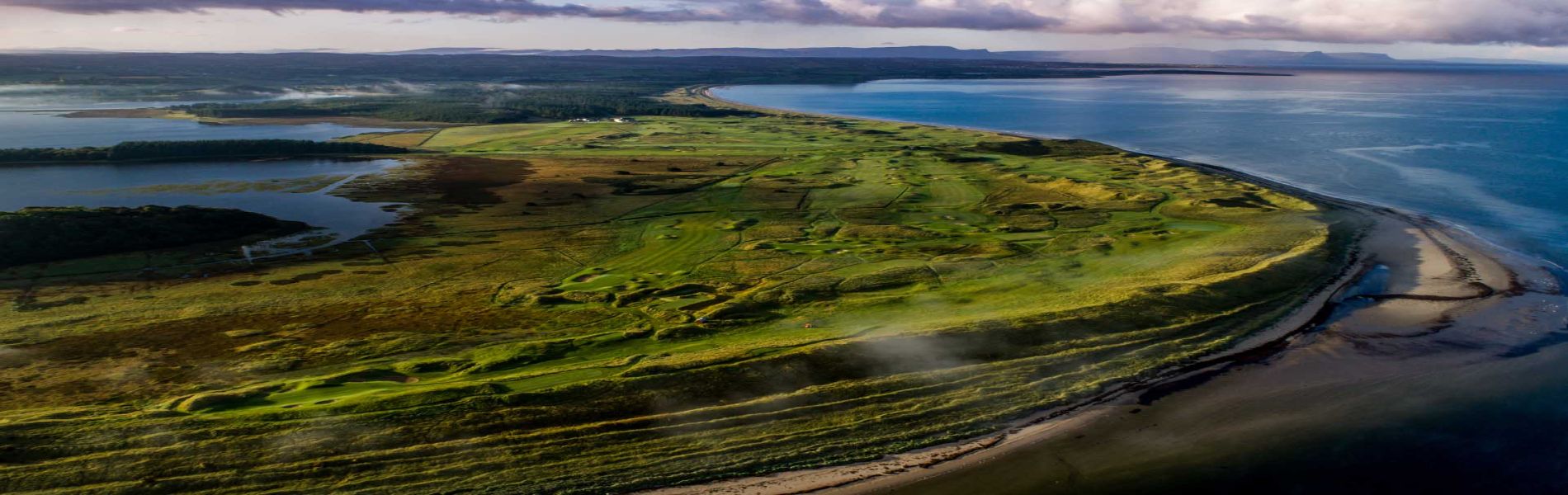 Donegal Golf ClubGolf course · 1.2 mi
 MurvaghOfficial bathing water · 1.3 mi
Explorer Tom Murvagh is the Donegal beach that seems to have brought a whole forest along for company. You cross toward the dunes…
 Rooney's IslandIslet · 1.3 mi
Explorer Tom Rooney's Island was once home to the O'Maoldory Clan, who ruled as Kings of Tir Conaill. I imagine a very serious…
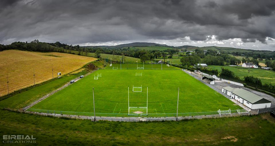 Páirc Naomh Bríd, Naomh Brd GAA, Ballintra/LagheyGAA ground · 1.4 mi
 Mapped cemeteryCemetery · 1.5 mi
Explorer Tom Mapped cemetery would cope fine on a reality show by just standing there being quiet while the hosts try desperately to…
 Mullanacross Burial Mound and Stone ChamberMound · 1.6 mi
Explorer Tom Mullanacross Burial Mound and Stone Chamber is an overgrown mound sitting right by a roadside fence, hiding a stone…
 Moneymore Fairy FortFairy fort / earthen ringfort · 1.6 mi
Explorer Tom Moneymore Fairy Fort sits on the crest of Horse Hill with gaps to the east and west. The earthen bank, likely scraped…
 The Pantry RestaurantRestaurant · 1.9 mi
Explorer Tom The Pantry Restaurant sounds like it stores food rather than serving it, but after a few pints it would tell you the…
 The Bridge the Lord made for the MajorRecorded cave place · 2.3 mi
Explorer Tom The Bridge the Lord made for the Major is dealing with a fairy dispute over parking rights that has lasted three…
More historic places in County Donegal · All of County Donegal

What do you know about this place?Tap to add a comment or ask a question