What is recorded here
From the National Monuments Service (Archaeological Survey of Ireland) record DG021-017
Places near here
Photo credits
- National Inventory of Architectural Heritage
- Maker not stated on source page, www.pinterest.com
- DAYVEHUSE, Wikimedia Commons · CC BY-SA 4.0
- Maker not stated on source page, en.wikipedia.org
- Maker not stated on source page, www.tripadvisor.ie
- Maker not stated on source page, storage.googleapis.com
- Kenneth Allen, Wikimedia Commons · CC BY-SA 2.0
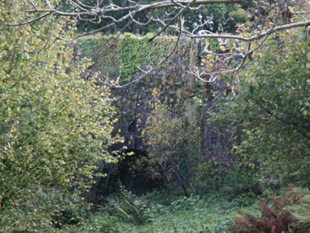 Carrickmaquigley BridgeBridge · 1193 yd
Explorer Tom Carrickmaquigley Bridge was recorded as a two-arch road bridge dating to about 1770, with carefully cut stone around…
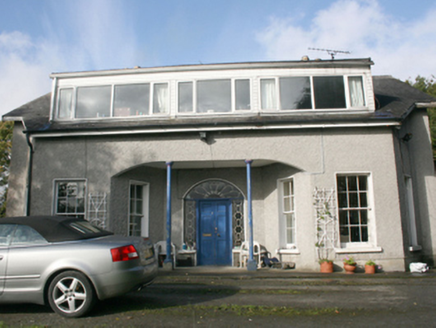 Foyle ViewHouse · 1297 yd
Explorer Tom Foyle View was actually called Castle View on the 1837 maps, which sounds grander but this place is still a beauty.…
 Church (in Ruins)Church · 1297 yd
Explorer Tom Over in Tullynavinn, we have this Church which the old 1903 maps describe as being 'in Ruins'. It’s a bit of a mystery…
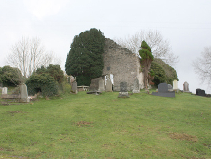 Old Redcastle Church of Ireland ChurchChurch/chapel · 1300 yd
Explorer Tom Old Redcastle Church of Ireland Church was built in 1747 by a Colonel and his crew, yet it's now just a roofless…
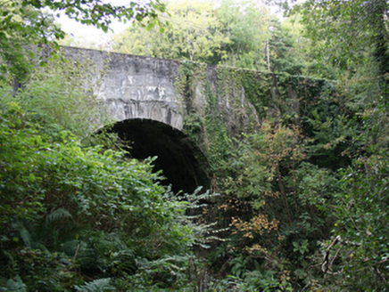 Redcastle BridgeBridge · 1364 yd
Explorer Tom Redcastle Bridge has straddled the river since c. 1770, showing off its finely cut stone voussoirs with zero shame.…
 St. Finian's Church of Ireland ChurchChurch/chapel · 1378 yd
Explorer Tom Step quietly past the ruins of the old 1747 church to see 'St. Finian's Church of Ireland Church', a Gothic gem by…
 Standing stone in BallyargusStanding stone · 1.0 mi
Explorer Tom Standing stone in Ballyargus has a shallow depression on its flat top, which locals used as a Mass Rock overlooking…
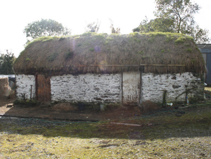 outbuilding1.1 mi
Explorer Tom Outbuilding in Ballyargus is a c. 1860 survivor with whitewashed random rubble walls that look like a daft patchwork…
 Redcastle Oceanfront Golf & Spa HotelHotel · 1.1 mi
Explorer Tom Redcastle Oceanfront Golf & Spa Hotel claims oceanfront status, which is generous for Donegal's rough coastline where…
 Clare MountHouse · 1.1 mi
Explorer Tom Clare Mount was built around 1870, replacing an earlier house that stood on the same site. This fine late Victorian…
 Ballyargus Children's Burial GroundChildren's burial ground · 1.2 mi
Explorer Tom Ballyargus Children's Burial Ground is cut in half by a field boundary, which feels a bit rude. You’ve got faint traces…
 CroaghmoreMountain / peak · 1.9 mi
Explorer Tom Croaghmore in County Donegal would win a county fair easily, simply by standing still and looking vaguely impressive…
More archaeology and monuments in County Donegal · All of County Donegal

What do you know about this place?Tap to add a comment or ask a question