What is recorded here
A standing stone, 1.2m high × 0.7m wide × 0.6m thick, which inclines to the W; N-S. Its flat upper surface has a shallow depression. Beside this, to the S, is a quartz stone .58m high × c. 0.7m × 0.6m. Some field clearance stones are wedged in between the two. According to local tradition the standing stone was used as a Mass Rock. Situated on fairly level pasture land overlooking Lough Foyle to the SE.
The above description was derived from the 'Archaeological Survey of County Donegal. A description of the field antiquities of the County from the Mesolithic Period to the 17th century.' Compiled by: Brian Lacey with Eamon Cody, Claire Cotter, Judy Cuppage, Noel Dunne, Vincent Hurley, Celie O'Rahilly, Paul Walsh and Seán Ó Nualláin (Lifford: Donegal County Council, 1983). In certain instances the entries have been revised and updated.
Date of upload: 22 September 2008
Likely dating to the Neolithic or Bronze Age, the standing stone may have had ritual or territorial significance. The shallow depression could indicate use in ceremonial practices or as a marker for seasonal activities.
The monument record does not grant public access. Check the route and ask the landowner before entering private land.
- What survives
- Recorded monument
Places near here
 Ballyargus Rock-Banked Fairy FortFairy fort / earthen ringfort · 379 yd
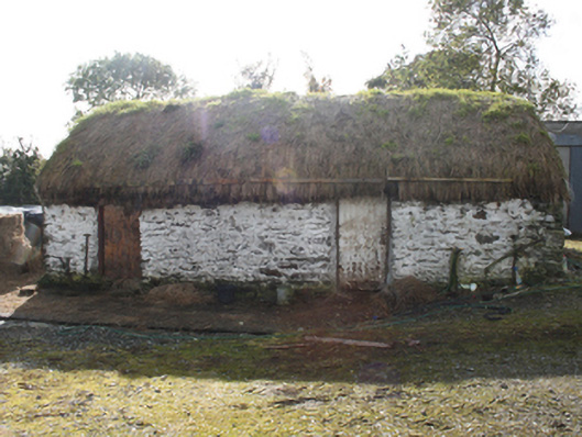 outbuildingoutbuilding · 519 yd
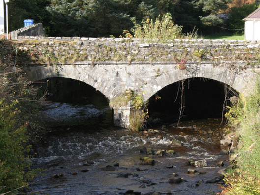 Drung Bridgebridge · 983 yd
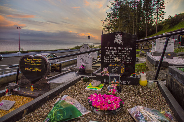 Drung GraveyardBurial ground · 1016 yd
 Site of Red CastleCastle, unclassified · 1.1 mi
 CroaghmoreMountain / peak · 2.2 mi
 Castle CaryCastle, unclassified · 2.4 mi
 Quigley's PointHeadland · 2.8 mi
 CrockavishaneMountain / peak · 3.4 mi
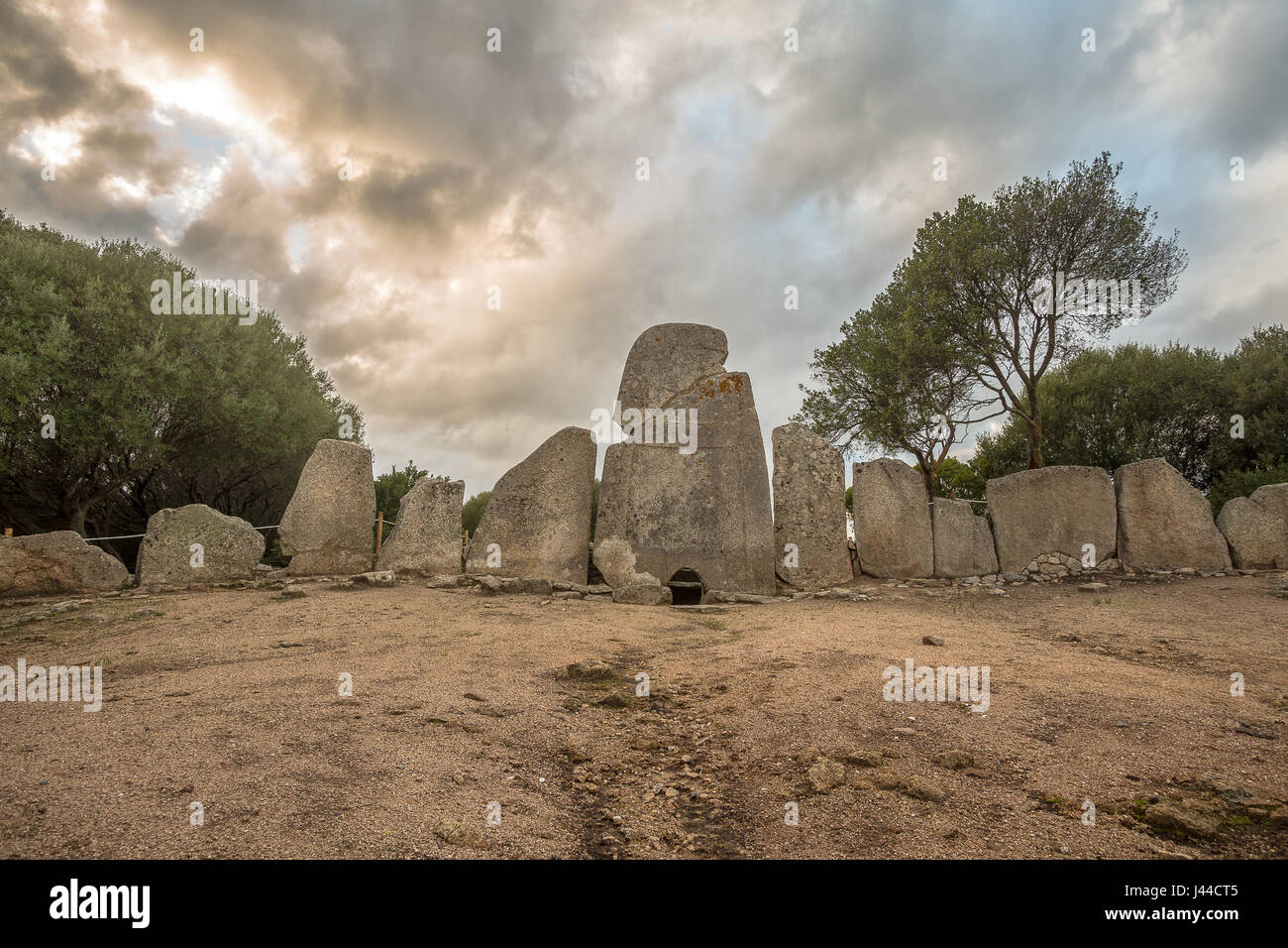 Giant's GraveArchaeological place · 3.8 mi
 Cooley CrossMemorial · 4.1 mi
 Inishowen Maritime Museum and PlanetariumMuseum · 7.2 mi