What is recorded here
One stone remains of the eight marked on old surveys, standing in Donegal pasture above Lough Foyle. It is called Druid's Altar, though no altar is left to show. The ground slopes away toward water, giving the stone a wide horizon and the person beside it a reason to stop walking. Whatever was lost here has not stopped the place from speaking; it has only reduced its sentence to one upright mark.
This monument, named 'Druid's Altar' on all editions of the OS 6-inch map, is in pasture 0.9km from the western shore of Lough Foyle. There is a steady fall in ground level from the site toward the lough, across which there is an extensive outlook. Rising ground to the W limits the view inland.
A single upright stone measuring 0.6m by 0.7m by c. 2m high stands here. There is a small clump of earth and stones at its base. At the beginning of the 20th century two upright stones stood here, one described as c. 3 feet (c. 0.9m) and the other as c. 5 feet (c. 1.5m) high (OS 1:2,500 Name Book, 1900-1901). Entries in both an OS Name Book (1833-4) and the OS Memoirs (1833) mention the existence of a 'Druid's Altar' in the townland, but neither contains an account of it. Lewis (1837) noted that there were the remains of 'an ancient cromlech' not far from Drung (the village in the townland of the same name) and that these consisted of eight upright stones near which others lay flat. On the pre-publication Fair Plan of the original OS 6-inch map the site referred to in the heading is indicated by eight dots. Each of these may represent a stone.
The evidence suggests that there may have been more substantial megalithic remains at this site than the two stones that stood here at the beginning of the 20th century. However, the nature of any such feature remains uncertain.
OS Memoirs, Upper Moville parish (1833) [4]; OS Name Book, Upper Moville parish (1833-4), 26; Lewis 1837, vol. 2, 399; 'Maghtochair' 1867, 15; Doherty 1891, 26 (on the slopes of Condum Beg hill); OS 1:2,500 Name Book, sheet 31 (1900-1901), 4; A.I. Young 1929, 8; Colhoun 1949, 117; Killanin and Duignan 1962, 380; Killanin and Duignan 1967, 381; Ó Nualláin 1983a, 48, no. 161; SMR 1987, 31:4; Ó Nualláin 1989, 142; Colhoun 1995, 80, no. 31/5; RMP 1995, 31:4.
The above description was published in the 'Survey of the Megalithic Tombs of Ireland. Volume VI, County Donegal.' Compiled by: Eamon Cody (Dublin: Stationery Office, 2002).
Date of upload: 22 September 2008
A Neolithic standing stone; possibly associated with ritual activity. Its name and location suggest local cultural or ceremonial significance, though specific historical context remains unclear.
The monument record does not grant public access. Check the route and ask the landowner before entering private land.
- What survives
- Recorded monument
Places near here
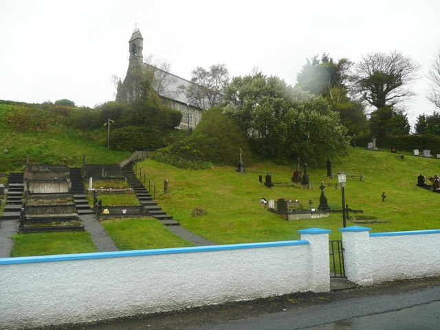 Church of St. Columbachurch/chapel · 952 yd
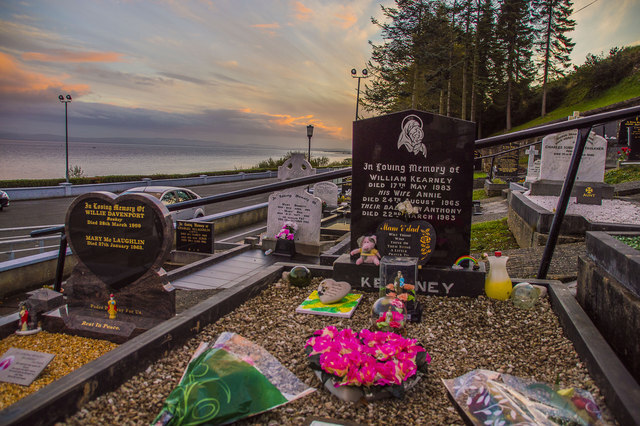 Drung GraveyardBurial ground · 991 yd
 Drung Bridgebridge · 1080 yd
 Ballyargus Rock-Banked Fairy FortFairy fort / earthen ringfort · 1156 yd
 Site of Red CastleCastle, unclassified · 1.9 mi
 Quigley's PointHeadland · 2.1 mi
 CroaghmoreMountain / peak · 2.2 mi
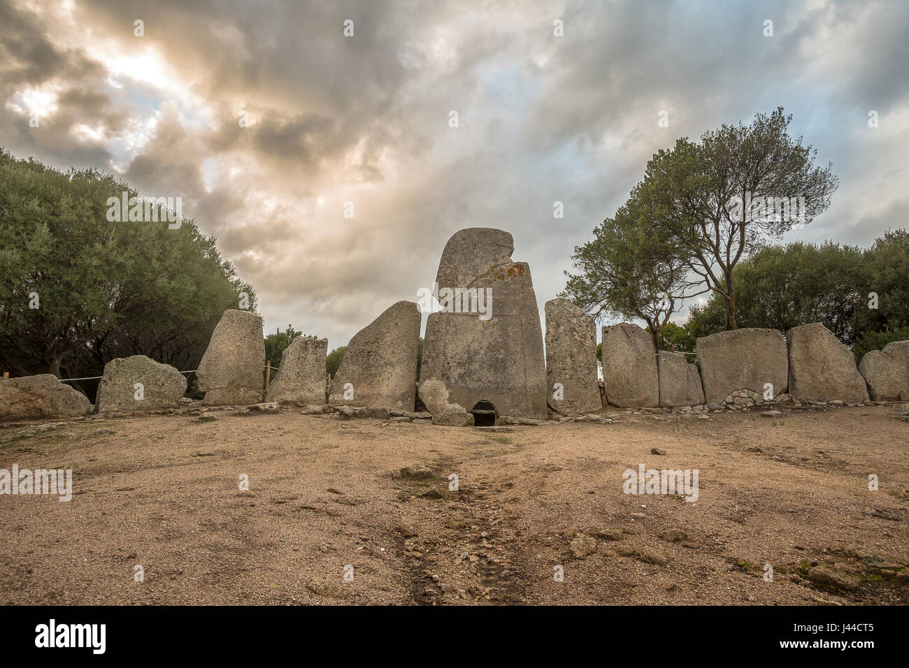 Giant's GraveArchaeological place · 3.0 mi
 Castle CaryCastle, unclassified · 3.2 mi
 CrockavishaneMountain / peak · 4.1 mi
 Cooley CrossMemorial · 4.9 mi
 Muff ForestWoodland walk · 7.0 mi