What is recorded here
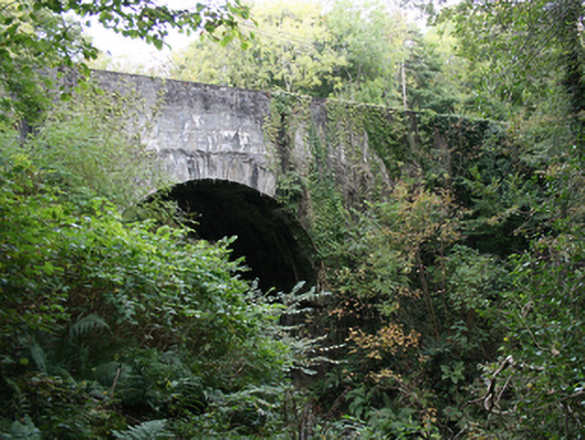
Double-arch road bridge over river, built c. 1770. Round-headed arches with squared rubble voussoirs and squared rubble soffits. Squared coursed parapet walls, random rubble stone to inside parapet walls with vertically standing coping stones. Double carriageway to tarmac deck. Located north of Red Castle.
An attractive bridge, which is much enhanced by the quality craft employed, particularly in its finely executed cut voussoirs. This bridge constitutes an integral part of the area's historic environment and complements its rural setting. After over two centuries, its continued use is testament to its design and construction. It is shown on the Ordnance Survey first edition six-inch map of c. 1837.
From the Buildings of Ireland (National Inventory of Architectural Heritage) record 40903111
This does not grant access. Most recorded buildings are privately owned; view them only from public ground unless the owner allows entry.
Places near here
Photo credits
- National Inventory of Architectural Heritage
- danny kearney, Wikimedia Commons · CC BY-SA 2.0
- Kenneth Allen, Wikimedia Commons · CC BY-SA 2.0
- Corinna Schleiffer, Wikimedia Commons · CC BY-SA 2.0
- Oliver Dixon, Wikimedia Commons · CC BY-SA 2.0
- Attila Terbócs, Wikimedia Commons · CC BY-SA 3.0
- DAYVEHUSE, Wikimedia Commons · CC BY-SA 4.0
- Kenneth Allen, Geograph · CC BY-SA 2.0
- MoorsoP, Wikimedia Commons · CC BY-SA 4.0
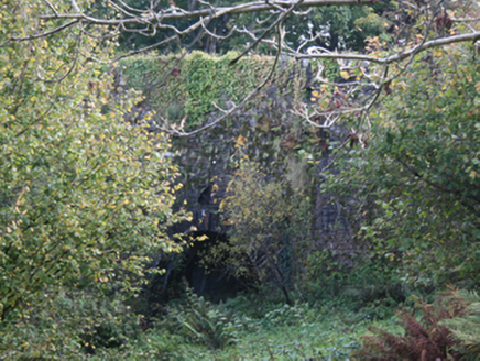 Carrickmaquigley BridgeBridge · 192 yd
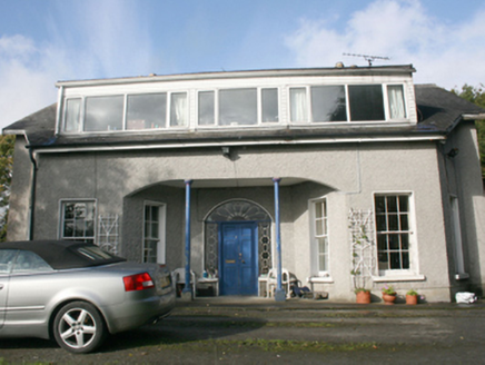 Foyle ViewHouse · 309 yd
 Drung GraveyardBurial ground · 1.3 mi
 CroaghmoreMountain / peak · 2.6 mi
 CrockavishaneMountain / peak · 2.8 mi
 Old CrossCross, High cross · 3.2 mi
 Cooley CrossMemorial · 3.2 mi
 Cooly GraveyardGraveyard · 3.2 mi
 Quigley's PointHeadland · 3.5 mi
 Inishowen Maritime Museum and PlanetariumMuseum · 6.3 mi
 GreencastleCastle · 6.7 mi
 Greencastle / Northburgh CastleCastle, Anglo-Norman masonry castle · 6.7 mi
More historic places in County Donegal · All of County Donegal
What do you know about this place?