What is recorded here
Not listed in either the SMR (1989) or RMP (1995). In rough pasture, on a steep N-facing slope overlooking a river 30m to N. A roughly circular roofless structure (diam. 1.2m) with a sunken interior (max. D 0.85m) lined with roughly coursed unmortared rubble limestone. The floor is level and strewn with rubble limestone. The entrance (Wth 1m) is on the N side and consists of two parallel earth and stone banks (H 0.4m; L 1m). At external ground level, the rim of the interior is defined by an earth and stone bank (ext. H 0.3m), possibly the remains of a collapsed roof. This is probably post-1700 AD in date.
Compiled by: Archaeological Survey Unit, UCC
Date of upload: 05 January 2012
The monument record does not grant public access. Check the route and ask the landowner before entering private land.
- What survives
- Recorded monument
Places near here
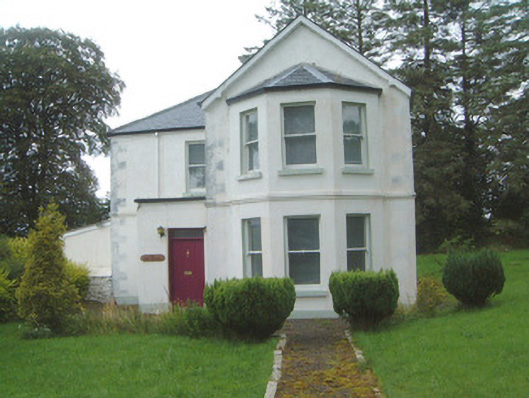 The Old Rectorypresbytery/parochial/curate's house · 1.2 mi
 Geevagh Prisoners 1908 MemorialMemorial · 1.2 mi
 Granny's Wellwater pump · 1.2 mi
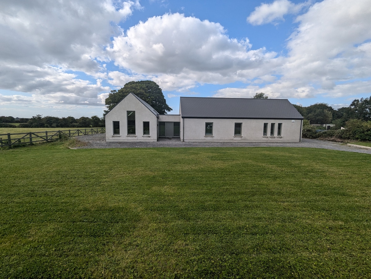 Enclosure in CarrownadargnyEnclosure · 1.4 mi
 Carrane HillCliff · 1.5 mi
 Ritual siteRitual site, holy/saint's stone · 1.7 mi
 Tobar Ailbhe Holy WellMemorial · 1.8 mi
 CastleCastle, motte and bailey · 2.6 mi
 Seltannasaggart SE SlopeMountain / peak · 3.4 mi
 Barroe NorthMountain / peak · 3.4 mi
 Black WoodForest · 3.5 mi
 Roundhouse Hill WoodForest · 3.6 mi