
What is recorded here
Six-span stone road-over-river bridge, built c. 1830. Extensive insitu concrete repairs c. 1960. Uncoursed rubble limestone walling rising to parapets, roughly-dressed saddle-back limestone copings. Round-headed arches increasing in diameter towards centre, cut stone voussoirs. Square-headed insitu concrete culvert to south. Twin bitmac carriageway, narrow grass verges. Spans north-south over Feorish River, weir to east.
This bridge is notable mainly for the varying size of its arches. It is constructed from locally-sourced rubble stone which enables it to blend with its picturesque setting. Historical interest is provided by the fact that the north end was blown up during the 1916 Troubles.
This does not grant access. Most recorded buildings are privately owned; view them only from public ground unless the owner allows entry.
Places near here
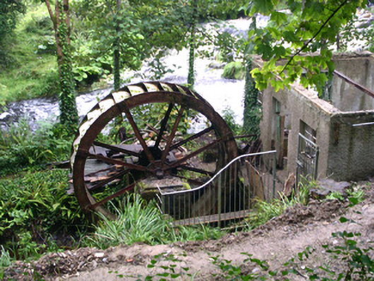 hydroelectric power stationhydroelectric power station · 27 yd
 Ritual siteRitual site, holy/saint's stone · 88 yd
 IndicatedEnclosure · 1541 yd
 bridgebridge · 1744 yd
 Geevagh Prisoners 1908 MemorialMemorial · 1754 yd
 Josie McDermott MemorialMemorial · 1.6 mi
 Green IslandIslet · 2.3 mi
 Roundhouse Hill WoodForest · 2.3 mi
 Black WoodForest · 2.4 mi
 Barroe NorthMountain / peak · 2.8 mi
 Carrane HillCliff · 3.1 mi
 Stony IslandIslet · 3.2 mi
Other information
Photo: Foggyflies · CC BY-SA 4.0