What is recorded here
Excavation in 2003 in advance of the construction of the N8 Rathcormac-Fermoy Bypass revealed the remains of a structure represented by an arc (C c. 3m) of stake-holes (av. diam. 0.1m; D 0.1m). The structure was cut by a shallow slot-trench of similar dimensions. According to the excavator (Cotter 2006a, 35), these features seemed to represent a windbreak erected to shelter activity which took place immediately to the NE where two distinct groups of stake-holes occurred. These stake-holes may represent a cooking spit. No hearth was found but a pit containing heat-shattered stones was revealed (ibid., 35). (Cotter 2006a, 34-5; 2006c)
The above description is derived from 'The Archaeological Inventory of County Cork. Volume 5' (Dublin: Stationery Office, 2009).
Date of upload: 22 December 2009
The monument record does not grant public access. Check the route and ask the landowner before entering private land.
- What survives
- Recorded monument
Places near here
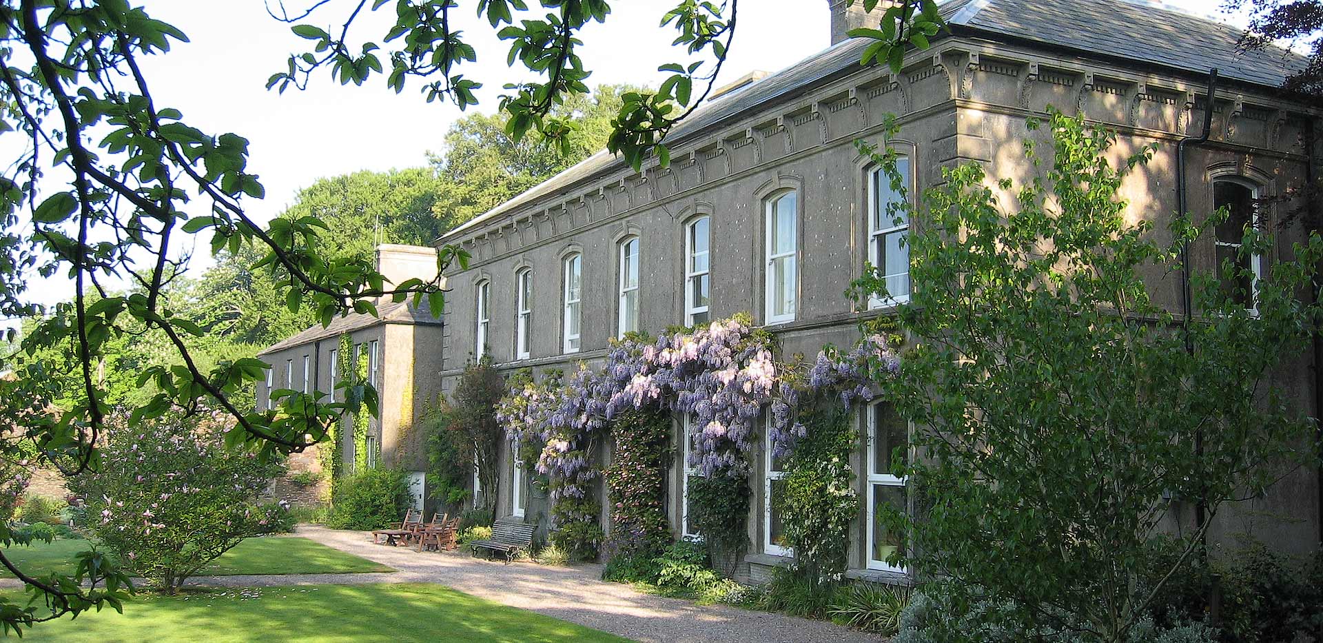 Enclosure in Ballybrowney LowerEnclosure · 22 yd
 KilnKiln, corn-drying · 70 yd
 ExcavationExcavation, miscellaneous · 132 yd
 Ahaclareen Bridgebridge · 799 yd
 Tower (in Ruins)Bawn · 1.7 mi
 Castle (in Ruins)Castle, unclassified · 2.0 mi
 Rathcormac massacremassacre · 2.2 mi
 Devonshire's HillMountain / peak · 3.0 mi
 Cappagh XViewpoint · 3.4 mi
 Coolmucy WoodWood · 3.5 mi
 Corrin WoodsWood · 3.5 mi
 Graveyard in Killuntin NorthGraveyard · 3.9 mi