What is recorded here
In rocky scrub woodland on the lower W-facing slope of Knockderc with excellent views to W, 80m E of the townland boundary with Loughgur. Located 250m S of two conjoined stone circles (LI032-064----); 320m SW of a stone circle (LI032-065003-) and a later field system (LI032-065001-) and lies 100m NW of Caheer Baelee (LI032-065004-).
The site is not depicted on the 1840 ed. OSi 6-inch map. It is depicted as a ‘stone circle’ (ext. diam. c. 40m E-W) on the 1897 ed. OSi 25-inch and later Cassini ed. 6-inch maps. The NE quadrant of the site is not depicted on the 1897 ed. OSi map. The site is now heavily overgrown by encroaching scrub woodland visible on Google Earth orthoimages taken 28/06/2018 and 20/09/2020. The site is partially visible as a circular feature within the woodland on Google Earth orthoimage taken 25/03/2017 (ext. diam. c. 31m N-S; 29m E-W). The monument is unlikely to be a Bronze Age ceremonial stone circle, the ‘stone circles’ on Knockadoon Peninsula at Lough Gur have been archaeologically excavated and identified as Late Bronze Age settlement enclosures surrounding domestic houses (Cleary 2018, 153).
See attached Google Earth orthoimages
Compiled by: Edmond O’Donovan
Date of upload: 18 November 2020
See attached ASI aerial photograph ASIAP - 303/28 and 29 taken 13/09/2002.
The monument record does not grant public access. Check the route and ask the landowner before entering private land.
- What survives
- Recorded monument
Places near here
 Field system in PatrickswellField system · 421 yd
 Glen BogForest · 452 yd
 Grave YardGraveyard · 890 yd
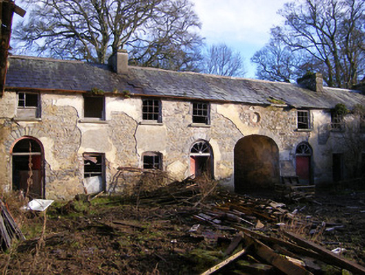 Kilballyowen Houseoutbuilding, stables · 1430 yd
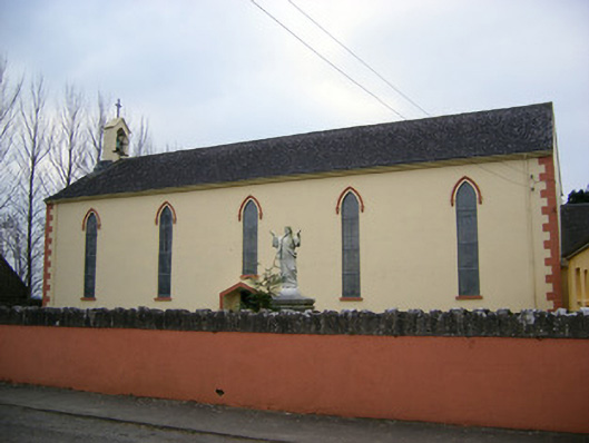 Saint Patrick's Catholic Churchchurch/chapel · 1476 yd
 Bawn in Ballinscoola (smallcounty By., Cahercorney Ed)Bawn · 1.3 mi
 Black Castle (in ruins)Castle, tower house · 1.6 mi
 KnockainyMountain / peak · 1.8 mi
 Pedunculate OakPedunculate Oak · 1.9 mi
 Grange Stone CircleArchaeological place · 1.9 mi
 Lough GurVisitor information · 1.9 mi
 Flat cemetery in Knockainy WestFlat cemetery · 2.7 mi