What is recorded here
In pasture on the N-facing higher slope of Knockderc with excellent views N, 195m E of the townland boundary with Loughgur. St Patrick’s Well, church and graveyard (LI032-063001/002/003/004-) are located 440m to the N. Located 155m E of two conjoined stone circles (LI032-064----); 320m NE of a stone circle (LI032-065002-) on the W of the hill and within a later field system (LI032-065001-).
The monument is not depicted on the 1840 ed. OSi 6-inch map. It is annotated ‘Stone Circle’ with a central hollow partially surrounded by an arrangement of stones forming an irregular shaped area with and a linear field boundary to the S on the 1897 ed. OSi 25-inch and later Cassini OSi 6-inch maps. Relic field boundaries are visible on OSi orthoimages taken 2005-12 and on Digital Globe orthoimages taken 2011-2013 running over the monument to the N, S, E and W. The site is visible as a circular-shape embanked enclosure (ext. dims. c. 35m N-S; 45m E-W; bank Wth. 11.5m) on Google Earth orthoimages taken 04/04/2013; 28/06/2018 and 20/03/2020. The monument is unlikely to be a Bronze Age ceremonial stone circle, the ‘stone circles’ on Knockadoon Peninsula at Lough Gur have been archaeologically excavated and identified as Late Bronze Age settlement enclosures surrounding domestic houses (Cleary 2018, 153).
See attached Google Earth orthoimages
Compiled by: Edmond O’Donovan
Date of upload: 18 November 2020
See attached ASI aerial photograph ASIAP - 303/28 and 29 taken 13/09/2002.
Probably dating to the Bronze Age, the stone circle at Patrickswell may have been used for ritual or ceremonial purposes. Its proximity to St Patrick’s Well suggests a later Christian association, though its original prehistoric meaning remains unclear.
The monument record does not grant public access. Check the route and ask the landowner before entering private land.
- What survives
- Recorded monument
Places near here
 Field system in PatrickswellField system · 100 yd
 Grave YardGraveyard · 507 yd
 Glen BogForest · 553 yd
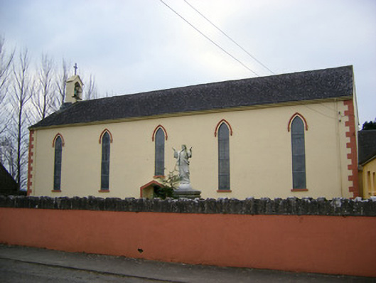 Saint Patrick's Catholic Churchchurch/chapel · 1124 yd
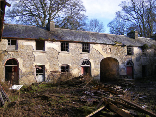 Kilballyowen Houseoutbuilding, stables · 1715 yd
 Bawn in Ballinscoola (smallcounty By., Cahercorney Ed)Bawn · 1.1 mi
 Castle (in ruins)Castle, unclassified · 1.4 mi
 Pedunculate OakPedunculate Oak · 1.8 mi
 KnockainyMountain / peak · 1.8 mi
 Grange Stone CircleArchaeological place · 1.9 mi
 Lough GurVisitor information · 1.9 mi
 Lough Gur Heritage CentreVisitor information · 1.9 mi