
What is recorded here
In rocky pasture on the NE summit and around Knockderc in Patrickswell townland, 180m E of the townland boundary with Loughgur. The field system is later than and overlies the stone circle (LI032-065003-); it is located on the NW side of the hill 140m E of the stone circles (LI032-064----)-; St Patrick’s Well, church and graveyard (LI032-063001/002/003/004-) are located 440m to N and Caheer Baelee (LI032-065004-) and a further stone circle (LI032-065002-) are located 330m to SW.
The field system is not depicted on the 1840 ed. OSi 6-inch map but is later partially depicted as a single E-W orientated wall S of a stone circle (LI032-065003-) on the 1897 ed. OSi 25-inch and the Cassini 6-inch map. Field boundaries are visible on OSi orthoimages taken 2005-12 and on Digital Globe orthoimages taken 2011-2013. In addition to the E-W field wall, further relic field boundaries extend N and S from the stone circle (LI032-065003-). A rectangular field enclosure (ext. dims. c. 44m N-S; 95m E-W) survives as an earthwork in the field surface under the existing field system on the NE side of Knockderc 290m ENE of the stone circle (LI032-065003-), this may be a separate or linked early field system. The field system is faintly visible on oblique aerial photographs (CUCAP AVT018) taken 20/07/1968 and on Google Earth orthoimages taken 05/04/2006; 16/03/2016 and 20/09/2020. The aerial images clearly show that the field system overlies the stone circle (LI032-065003-) and is not to the S of it as depicted on the OSi maps.
See attached Cambridge Aerial photos AVT018 and Google Earth orthoimages
Compiled by: Edmond O’Donovan
Date of upload: 18 November 2020
See attached ASI aerial photograph ASIAP - 303/28 and 29 taken 13/09/2002.
The monument record does not grant public access. Check the route and ask the landowner before entering private land.
- What survives
- Recorded monument
Places near here
 Glen BogForest · 491 yd
 Grave YardGraveyard · 516 yd
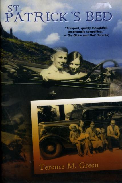 St Patricks Bed - HachuredBurial mound · 569 yd
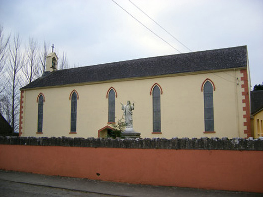 Saint Patrick's Catholic Churchchurch/chapel · 1157 yd
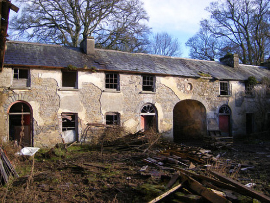 Kilballyowen Houseoutbuilding, stables · 1674 yd
 Bawn in Ballinscoola (smallcounty By., Cahercorney Ed)Bawn · 1.1 mi
 Castle (in ruins)Castle, unclassified · 1.3 mi
 KnockainyMountain / peak · 1.7 mi
 Pedunculate OakPedunculate Oak · 1.8 mi
 Grange Stone CircleArchaeological place · 1.9 mi
 Lough Gur Heritage CentreVisitor information · 2.0 mi
 Lough GurVisitor information · 2.0 mi
Other information
Photo: Credit not shown in the picture search · Rights wording not checked; contact us if this picture should be removed