What is recorded here
National monument No. 247. Situated at the base of the W facing slope on the Hill of Knockderc/Knockderk with good views of the surrounding countryside. Depicted as a conjoined setting of stones forming two C-shaped areas open to E and annotated as 'Stone Circles' on the 25-inch OS map. In 1833 the presence of…
Read the whole record
From the National Monuments Service (Archaeological Survey of Ireland) record LI032-064
Places near here
Photo credits
- Maker not stated on source page, www.dreamstime.com
- Maker not stated on source page, www.tripadvisor.com.au
- National Inventory of Architectural Heritage
- Maker not stated on source page, www.alamy.com
- Ballyhoura Failte, Wikimedia Commons · CC BY-SA 2.0
- Maker not stated on source page, www.pinterest.com
- Maker not stated on source page, commons.wikimedia.org
- Knockane GAA Club website; individual photographer not stated, www.knockane.com
- No machine-readable author provided. Christian1965~commonswiki assumed (based on copyright claims)., Wikimedia Commons · Public domain
- Kmcnamee, Wikimedia Commons · CC BY-SA 4.0
 Stone Circle198 yd
Explorer Tom This Stone Circle in Patrickswell has had so many names over the centuries that even the stones are confused about…
 Church (Site of)Church · 636 yd
Explorer Tom Church in Patrickswell claims it’s older than the concept of time, which is a bold move for a spot that’s currently…
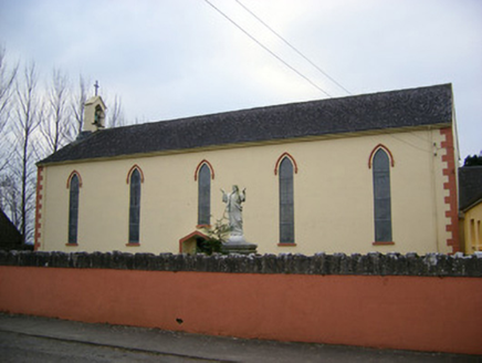 Saint Patrick's Catholic ChurchChurch/chapel · 1163 yd
Explorer Tom Saint Patrick's Catholic Church was saved by a hero nobody remembers anymore. He just fixed the belfry and vanished…
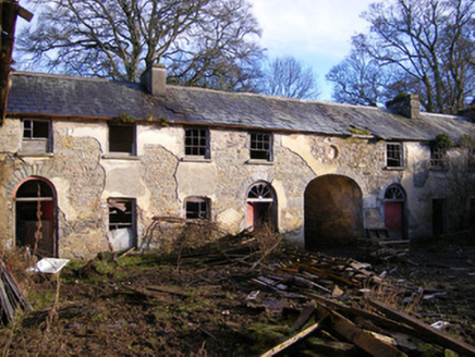 Kilballyowen HouseOutbuilding, stables · 1736 yd
Explorer Tom Kilballyowen House nearly sold itself as a horse stable because the main house got demolished in the seventies. It's…
 Standing stone in LoughgurStanding stone · 1.0 mi
Explorer Tom Standing stone in Lough Gur would survive Big Brother by just standing still and ignoring everyone who tries to talk to…
 Ballynagallagh CottageHouse · 1.1 mi
Explorer Tom Ballynagallagh Cottage thinks the road leading to it is an insult to its high-quality limestone sills, which is…
 Giants GraveMegalithic tomb · 1.2 mi
Explorer Tom Giants Grave in Ballynagallagh took forty cups of tea to build, if you ask me. The stones lean so hard they're…
 Fairy fort / stone ringfort in KilballyowenFairy fort / stone ringfort · 1.4 mi
Explorer Tom Fairy fort / stone ringfort in Kilballyowen has the local sheep convinced it’s a giant rock pile. It’s collapsed but…
 Earthwork in Ballinscoola (smallcounty By., Cahercorney Ed)Earthwork · 1.5 mi
Explorer Tom This circular ditch smells like old mud and regret, according to my sensitive nose. It’s thirty-four meters across and…
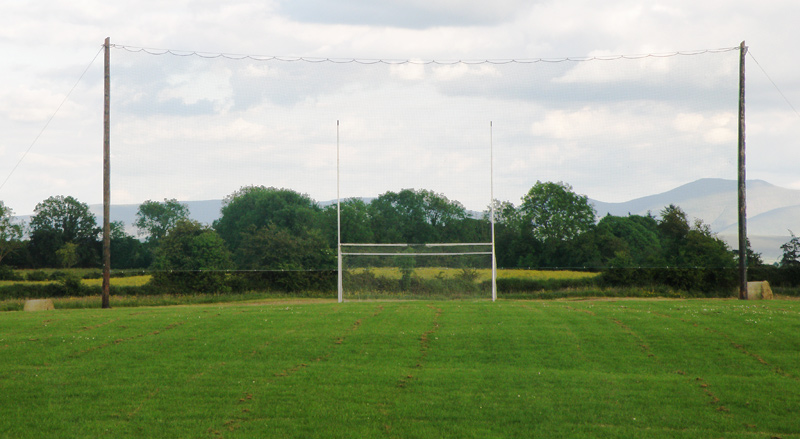 Knockainey GAA pitchGAA ground · 1.7 mi
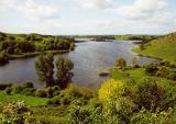 Áine and Gearóid Iarla: Lough GurLegend location · 1.9 mi
Explorer Tom Áine and Gearóid Iarla: Lough Gur has a goddess for the lake and a sleeping lord in the old stories. I thought I was…
 Bruff GAA pitchGAA ground · 1.9 mi
More archaeology and monuments in County Limerick · All of County Limerick

What do you know about this place?Tap to add a comment or ask a question