
Places near here
Photo credits
- Eric Jones, Geograph · CC BY-SA 2.0
- National Inventory of Architectural Heritage
- Eric Jones, Geograph · Creative Commons Attribution-ShareAlike 2.0
- DarranRaff, Wikimedia Commons · CC BY-SA 4.0
- Digital Eye, Wikimedia Commons · CC BY-SA 4.0
 The Round MountainMountain / peak · 1506 yd
Explorer Tom The Round Mountain has an unlikely celebrity friend who visits every year to hide from their ex. It’s basically the…
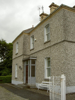 presbytery/parochial/curate's house1525 yd
Explorer Tom Presbytery in Doolargy is stuck in a feud with the house next door over who gets the best view of the church, and it’s…
 Saint Mary's Roman Catholic ChurchChurch/chapel · 1528 yd
Explorer Tom Saint Mary's Church in Doolargy is haunted by a fiddler who never stopped playing. He’s been going since 1830 and…
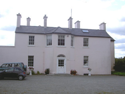 Doolargy HouseHouse · 1707 yd
Explorer Tom Doolargy House hides a giant who only sneezes when it rains. The whole complex is untouched, which is rare and frankly…
 Trumpet HillMountain / peak · 1.2 mi
Explorer Tom Trumpet Hill is famous for a legend about a boy, but mostly it just looks at seagulls and judges them. It’s got that ‘I…
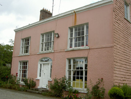 Ravensdale HouseCountry house · 1.3 mi
Explorer Tom Ravensdale House would complain to the council about the texture of its own rendering because it thinks it looks too…
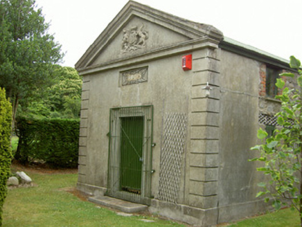 Ravensdale CourthouseCourt house · 1.4 mi
Explorer Tom The Ravensdale Courthouse in Doolargy claims it’s older than the concept of time itself, which is daft because it’s got…
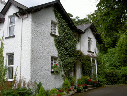 Sruhan HouseHouse · 1.4 mi
Explorer Tom Sruhan House in Doolargy is absolutely sick of people asking if it’s haunted, as if having three different roof lines…
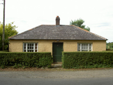 Anaverna HouseGate lodge · 1.5 mi
Explorer Tom House in Townparks on Kelso Terrace has raised its roofline to say ‘I’m different’ while its neighbours stay modestly…
 Giants GraveWedge tomb · 1.6 mi
Explorer Tom Giants Grave in Proleek is basically run by a dog who thinks he owns the place. The wedge tomb is gone now, but the…
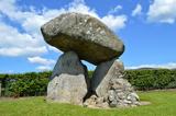 Proleek DolmenArchaeological place · 1.6 mi
Explorer Tom Proleek Dolmen balances a mighty stone in a way that makes me suspicious of my own wobbly garden wall. The portal tomb…
 DolmenPortal tomb · 1.6 mi
Explorer Tom Dolmen in Proleek has a ghost that’s too lazy to haunt it properly. The roof stone is massive and looks like it fell…
More archaeology and monuments in County Louth · All of County Louth

What do you know about this place?Tap to add a comment or ask a question