What is recorded here
On a gentle E-facing pasture slope, c. 35m W of the N-flowing Morell River. A tall, almost square, granite stone (H 1.62m; L 0.29m; Wth 0.26m) is orientated on a NE-SW axis. A small perforation pierces the top of the stone NW-SE. Believed locally to be a scratching post, but exhibits no obvious signs of wear.
See attached images provided by Seán Sourke
Compiled by: Gearóid Conroy
Revised by: Caimin O'Brien based on details provided by Seán Sourke
Date of upload: 10 June 2011
Dated to the Late Neolithic or Early Bronze Age, the stone's orientation and perforation may indicate ritual or astronomical significance, possibly marking seasonal changes or serving as a ceremonial marker. Local folklore sometimes associates such stones with ancient guardians or waypoints for spirits.
The monument record does not grant public access. Check the route and ask the landowner before entering private land.
- What survives
- Recorded monument
Places near here
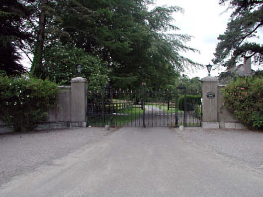 Roseboro Housedemesne walls/gates/railings · 171 yd
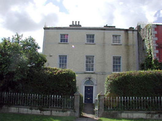 Johnstown Househouse · 177 yd
 Enclosure in Forenaghts GreatEnclosure · 1748 yd
 Enclosure in Greenhills (kill Ed)Enclosure · 1.1 mi
 Naas ParkWood · 1.1 mi
 Monread District Park WoodsWood · 1.2 mi
 Hartwell CastleCastle, unclassified · 1.6 mi
 Sallins LodgeCastle, tower house · 1.7 mi
 Poplar SquarePicnic place · 1.8 mi
 Cupidstown HillMountain / peak · 5.5 mi
 The Square RenewalMemorial · 5.9 mi
 Dame Ninette de ValoisMemorial · 5.9 mi