What is recorded here
Standing stone in Lyraneag is a rectangular stone, 1.37 metres tall, leaning north on a pasture slope in County Cork. It still marks the land, though the hands that set it and the events it watched have faded from local memory. A person may have stood before it at sunrise, judged weather, claimed territory or remembered someone lost. The stone remains clear while human meaning blunts, which is why such places resist easy explanation.
In pasture, on N-facing slope. Stone (H 1.37m; 0.25m x 0.37m) is rectangular in plan and leaning to N; long axis WNW.
The above description is derived from the published 'Archaeological Inventory of County Cork. Volume 4: North Cork' (Dublin: Stationery Office, 2000). In certain instances the entries have been revised and updated in the light of recent research.
Date of upload/revision: 14 January 2009
The monument record does not grant public access. Check the route and ask the landowner before entering private land.
- What survives
- Recorded monument
Places near here
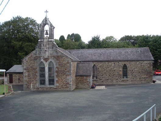 Saint Peter's Churchchurch/chapel · 1153 yd
 IndicatedKiln, lime · 1243 yd
 TumulusMound · 1530 yd
 Rockchapel Burial GroundGraveyard · 1.0 mi
 Rock HillMountain / peak · 1.7 mi
 KnockacummerMountain / peak · 2.5 mi
 Mullaghareirk - Banane LoopWalking route · 3.6 mi
 Three CountiesPicnic place · 3.6 mi
 Glenduff CastleCastle, tower house · 5.6 mi
 Glenquin CastleCastle · 6.3 mi
 Saint Ite's WellSpring · 6.5 mi
 TobereenalaffinaSpring · 7.7 mi