
What is recorded here
From the National Monuments Service (Archaeological Survey of Ireland) record DG069-037
Places near here
Photo credits
- Maker not stated on source page, monumentalireland.ie
- Maker not stated on source page, scotlands-stories.com
- National Inventory of Architectural Heritage
- Richard Webb, Geograph · Creative Commons Attribution-ShareAlike 2.0
- Maker not stated on source page, artuk.org
- Kenneth Allen, Wikimedia Commons · CC BY-SA 2.0
- Maker not stated on source page, www.pinterest.com
- Kenneth Allen, Geograph · CC BY-SA 2.0
 Standing stoneStanding stone, pair · 1321 yd
Explorer Tom Standing stone in Leaght is the last one standing after its partner disappeared, making it feel a bit lonely on that…
 Standing stone in CarricknashaneStanding stone · 1.2 mi
Explorer Tom Standing stone in Carricknashane is exactly 1.85 metres tall, which is a really good height! It sits on rolling land…
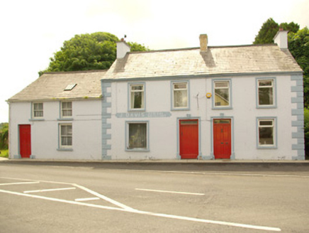 J. DavisHouse · 1.4 mi
Explorer Tom J. Davis in Liscooly is three buildings where the map makers got completely lost and named it after a guy who never…
 Donaghmore Presbyterian ChurchChurch/chapel · 1.4 mi
Explorer Tom Donaghmore Presbyterian Church has a tapestry of a burning bush right behind the pulpit! I bet the preacher had to…
 Standing stone in Carrick (killygordon Ed)Standing stone · 1.4 mi
Explorer Tom Standing stone in Carrick is hiding in a field that slopes right down. I think the grass grew so tall and thick it…
 Dooghan / Carnowen Standing StoneStanding stone · 1.5 mi
Explorer Tom Dooghan / Carnowen Standing Stone is a whopping 1.88m tall, which means it’s basically as big as me! I bet it’s leaning…
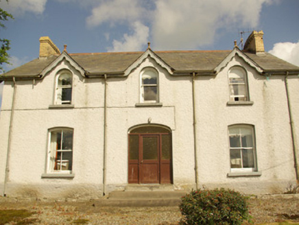 Kiltown HouseHouse · 1.5 mi
Explorer Tom Kiltown House has very strong opinions about modern buildings, mostly that they’re ugly and leaky. It’s a…
 Green HillsFolly · 1.5 mi
Explorer Tom Green Hills has this weird little tower on a hill, and right next to it was a pond with fancy mosaic floors. Built…
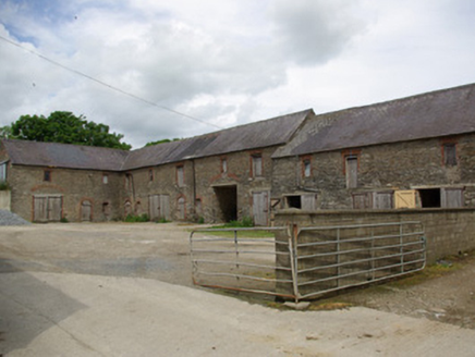 Berwick HallOutbuilding · 1.5 mi
Explorer Tom Berwick Hall has a yard of outbuildings big enough to make me wonder how many jobs an estate needed doing before…
 Cist in LiscoolyCist · 1.5 mi
Explorer Tom This Cist in Liscooly held an adolescent tucked into a crouch, with a split bowl wedged between their elbow and pelvis.…
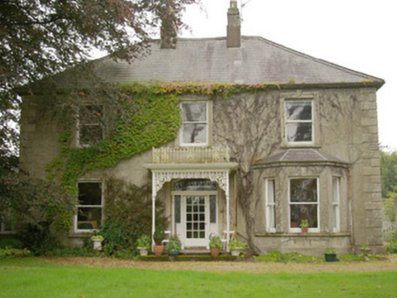 Carnowen HouseHouse · 1.6 mi
Explorer Tom Carnowen House is a late nineteenth-century dwelling with a canted bay window and well-detailed doorway that makes it…
 Carnowen HillMountain / peak · 1.7 mi
Explorer Tom Carnowen Hill has a secret it would tell after a few pints, but it never gets drunk because it’s too busy watching the…
More archaeology and monuments in County Donegal · All of County Donegal

What do you know about this place?Tap to add a comment or ask a question