
What is recorded here
A standing stone 1.88m high × 1.44m maximum width × 0.6m thick; NNW-SSE. Situated on good land on the SW slope of Carnowen Hill. The above description was derived from the 'Archaeological Survey of County Donegal. A description of the field antiquities of the County from the Mesolithic Period to the 17th century.' Compiled by: Brian Lacey with Eamon Cody, Claire Cotter, Judy Cuppage, Noel Dunne, Vincent Hurley, Celie O'Rahilly, Paul Walsh and Seán Ó Nualláin (Lifford: Donegal County Council, 1983).
From the National Monuments Service (Archaeological Survey of Ireland) record DG070-059
The monument record does not grant public access. Check the route and ask the landowner before entering private land.
- What survives
- Recorded monument
Places near here
 Carnowen HillMountain / peak · 420 yd
 outbuilding794 yd
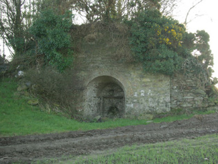 kiln1136 yd
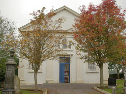 Carnowen Presbyterian ChurchChurch/chapel · 1.1 mi
 Cloghfin Standing StonePublicly named standing stone · 1.9 mi
 Beltany Stone CircleArchaeological place · 1.9 mi
 Croaghan HillMountain / peak · 3.1 mi
 PalaceHouse, fortified house · 3.4 mi
 Mongavlin CastleHouse, fortified house · 8.5 mi
 Battle of ScarrifholisBattle · 10 mi
 Newmills Corn and Flax MillsHeritage attraction · 11 mi
 Stackarnagh Abbey GraveyardGraveyard · 14 mi
Pictures: Kenneth Allen, Geograph · CC BY-SA 2.0; National Inventory of Architectural Heritage; Kenneth Allen, Wikimedia Commons · CC BY-SA 2.0; VisionsofthePast, Wikimedia Commons · CC BY-SA 4.0; Mike Simms, Wikimedia Commons · CC BY-SA 2.0; 60McCurdy, Wikimedia Commons · CC BY-SA 3.0; Me, Wikimedia Commons · Public domain; Dr Neil Clifton, Geograph · CC BY-SA 2.0
More archaeology and monuments in County Donegal · All of County Donegal
What do you know about this place?