
What is recorded here
Marked as 'Standing Stone' on the 2nd edition of the OS 6-inch map and as 'Standing Stone (site of)' on the 3rd edition. There are no visible remains. Situated on good land on the N slope of Kilmonaster Hill. The above description was derived from the 'Archaeological Survey of County Donegal. A description of the…
Read the whole record
From the National Monuments Service (Archaeological Survey of Ireland) record DG070-063001
Places near here
Photo credits
- Maker not stated on source page, br.pinterest.com
- Maker not stated on source page, ca.pinterest.com
- Maker not stated on source page, commons.wikimedia.org
- Maker not stated on source page, uk.pinterest.com
- National Inventory of Architectural Heritage
- Maker not stated on source page, www.pinterest.com
- Kenneth Allen, Wikimedia Commons · CC BY-SA 2.0
- Mike Simms, Wikimedia Commons · CC BY-SA 2.0
 Anomalous stone group in Kilmonaster MiddleAnomalous stone group · 104 yd
Explorer Tom Anomalous stone group in Kilmonaster Middle is basically a construction site where they dug holes and found exactly one…
 Passage tomb in Kilmonaster MiddlePassage tomb · 125 yd
Explorer Tom This passage tomb in Kilmonaster Middle is a total mystery because it’s just gone from the map. Locals told Fagan they…
 Standing stone in MagherashanvallyStanding stone · 780 yd
Explorer Tom Standing stone in Magherashanvally is another one that’s vanished, located on a level shoulder of a slope. The maps…
 Megalithic tomb in Kilmonaster MiddleMegalithic tomb · 861 yd
Explorer Tom This megalithic tomb in Kilmonaster Middle vanished before I got here, leaving only a blank spot on the map. Fagan…
 Ballymonaster BridgeBridge · 1279 yd
Explorer Tom Ballymonaster Bridge has a V-shaped stone nose pointing straight at the Deele River. I imagine the masons in 1801…
 Standing stone in LisnabertStanding stone · 1362 yd
Explorer Tom Standing stone in Lisnabert is missing, and it was on low-lying land near the Deele river. Maybe the water just got…
 Standing stone in BallymonasterStanding stone · 1714 yd
Explorer Tom Standing stone in Ballymonaster is a substantial block, 2.16m high and 1.74m wide, sitting on the level summit of a low…
 Cloghfin Standing StonePublicly named standing stone · 1.1 mi
Explorer Tom Cloghfin Standing Stone has a secret talent for balancing itself perfectly while pretending to be completely unbothered…
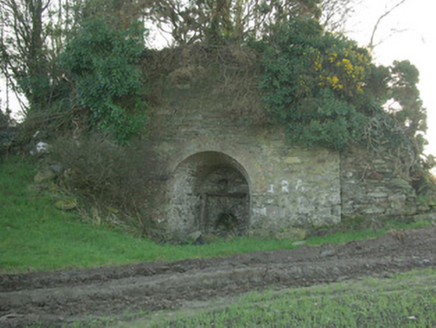 kiln1.1 mi
Explorer Tom Kiln in Breaghy got on the map wrong because the surveyor fell asleep and dreamed he was baking a giant loaf of bread…
 outbuilding1.3 mi
Explorer Tom Outbuilding in Carnowen has batten timber panelled doors that look like they are checking everyone’s ID before letting…
 Croaghan HillMountain / peak · 1.7 mi
Explorer Tom Croaghan Hill keeps a 21-metre-wide passage tomb right in the middle of an enclosure where some walls are barely…
 Monastery; Church; Graveyard; Cross-carved Stone: Ernaide or Ernaidhe or Irnaide in Urney GlebeMonastery · 2.7 mi
Explorer Tom Ernaide in Urney Glebe would bring a cross-carved stone to a party and call it décor. It’s been doing this from early…
More archaeology and monuments in County Donegal · All of County Donegal

What do you know about this place?Tap to add a comment or ask a question