What is recorded here
No stone, seam or shadow remains where Thomas Fagan measured an eleven-foot square chamber in 1845. He saw a seven-foot flag tilted at one end like a lid half-opened over a grave, while large flags stood a hand's breadth above the pasture. The land has taken back the tomb, leaving only a coordinate and a ghost of shape in rolling Donegal grass.
This feature, of which there is no trace, appears on the 1845-7 revision of the OS 6-inch map, where it is depicted as a standing stone but is not named. It was 50m NE of the next to be described. Both stood on a slight elevation in rolling pasture c. 2km W of Croaghan Hill and c. 400m SE of the cruciform passage tomb (Site A) in the same townland.
Thomas Fagan (1845-8) identified it as a 'Giant's Grave...enclosed by large flags standing 1 to 2 feet [c. 0.3-0.6m] high...[it] is 11 feet [c. 3.3m] square...[in it] there lies a flag 7 feet [c. 2.15m] long, 4 feet [c. 1.2m] broad and 11/2 feet [c. 0.45m] thick and in one end raised 2 feet [c. 0.6m] and seem to cover a grave'.
Thomas Fagan's brief account suggests that there may have been some form of megalithic structure here, but its nature is quite uncertain.
Fagan 1845-8, book 10, 32; Ó Nualláin 1968b, 12-13, site I; Herity 1974, 214, Dg. 9; Ó Nualláin 1983a, 37, no. 83; Ó Nualláin 1989, 142; RMP 1995, 70:69.
The above description was published in the 'Survey of the Megalithic Tombs of Ireland. Volume VI, County Donegal.' Compiled by: Eamon Cody (Dublin: Stationery Office, 2002).
Date of upload: 22 September 2008
This remains an important historical record, but the official description says the monument is no longer visible or has been destroyed. The monument record does not grant public access. Check the route and ask the landowner before entering private land.
- What survives
- No visible remains or recorded as destroyed
Places near here
 Enclosure in Keeloges (clonleigh South Ed)Enclosure · 1083 yd
 Church (Site of)Church · 1.1 mi
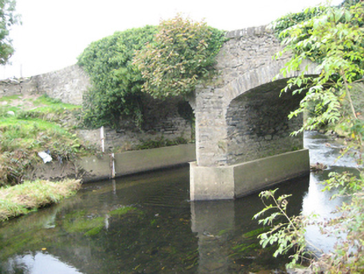 Ballymonaster Bridgebridge · 1.1 mi
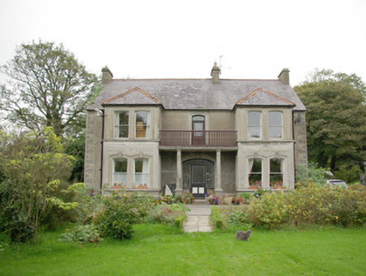 Gortfad Househouse · 1.2 mi
 Croaghan HillMountain / peak · 1.4 mi
 Carnowen HillMountain / peak · 1.6 mi
 OutlinedBawn · 1.6 mi
 CastleCastle, unclassified · 1.9 mi
 BATTLE SITE: in 789 AD & BATTLE OF THE FORDS , Southern crossing, 1689 in Clady; DonnygowanBATTLE SITE: in 789 AD & BATTLE OF THE FORDS , Southern crossing, 1689 · 2.3 mi
 BATTLE SITE: BATTLE OF THE FORDS, Central crossing, 1689 in Magirr; Town Parks OF StrabaneBATTLE SITE: BATTLE OF THE FORDS, Central crossing, 1689 · 3.6 mi
 Feddyglass WoodWood · 4.2 mi
 Gray PrinterHeritage attraction · 4.2 mi