
What is recorded here
Moss and grass have swallowed the church, leaving only scattered stone and a quiet graveyard beside the river Deel. Cistercian monks may have prayed there briefly around 1194 before abandoning the place, but no grand building ever rose to mark their failure. The land remains fat, green and indifferent, turning sacred ambition back into ordinary soil.
An overgrown and disused graveyard (DG070-044001-) which contains a certain amount of masonry rubble, probably from the 'Church (site of)' marked on the 2nd and 3rd editions of the OS 6-inch maps. No discernible features of a structure were observed. It has been suggested by several authors that this is the site of a short-lived Cistercian foundation c. 1194 (Gwynn and Hadcock 1970, 138). It seems definite, however, that no major monastic buildings were ever erected here. It is situated in good arable land on the banks of the river Deel.
The above description was derived from the 'Archaeological Survey of County Donegal. A description of the field antiquities of the County from the Mesolithic Period to the 17th century.' Compiled by: Brian Lacey with Eamon Cody, Claire Cotter, Judy Cuppage, Noel Dunne, Vincent Hurley, Celie O'Rahilly, Paul Walsh and Seán Ó Nualláin (Lifford: Donegal County Council, 1983). In certain instances the entries have been revised and updated.
Date of upload: 22 September 2008
The monument record does not grant public access. Check the route and ask the landowner before entering private land.
- What survives
- Recorded monument
Places near here
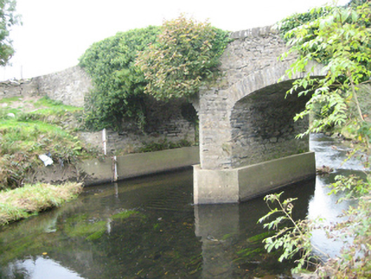 Ballymonaster Bridgebridge · 227 yd
 Cloghfin Standing StonePublicly named standing stone · 890 yd
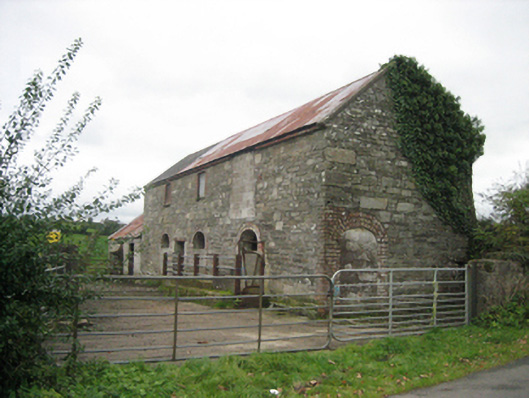 outbuildingoutbuilding · 1467 yd
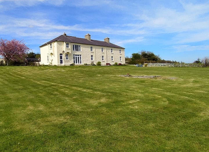 Enclosure in CottownEnclosure · 1554 yd
 Carnowen HillMountain / peak · 1.7 mi
 Croaghan HillMountain / peak · 1.8 mi
 PalaceHouse, fortified house · 2.6 mi
 OutlinedBawn · 2.6 mi
 Feddyglass WoodWood · 3.3 mi
 BATTLE SITE: in 789 AD & BATTLE OF THE FORDS , Southern crossing, 1689 in Clady; DonnygowanBATTLE SITE: in 789 AD & BATTLE OF THE FORDS , Southern crossing, 1689 · 3.3 mi
 BATTLE SITE: BATTLE OF THE FORDS, Central crossing, 1689 in Magirr; Town Parks OF StrabaneBATTLE SITE: BATTLE OF THE FORDS, Central crossing, 1689 · 3.7 mi
 Second World War MemorialMemorial · 4.4 mi
Other information
Photo: Credit not shown in the picture search · Rights wording not checked; contact us if this picture should be removed