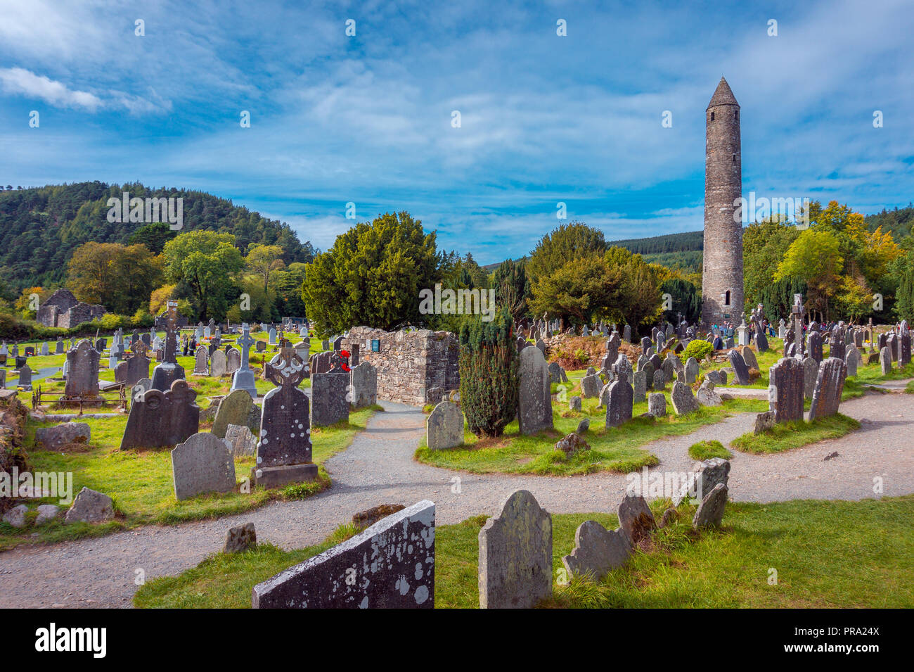
What is recorded here
From the National Monuments Service (Archaeological Survey of Ireland) record CO131-054
Places near here
Photo credits
- National Inventory of Architectural Heritage
- Richard Webb, Geograph · CC BY-SA 2.0
- Maker not stated on source page, www.pinterest.com
- Maker not stated on source page, heritageireland.ie
- Maker not stated on source page, www.dreamstime.com
- Mike Searle, Wikimedia Commons · CC BY-SA 2.0
- Garry Dickinson, Wikimedia Commons · CC BY-SA 2.0
- Maker not stated on source page, www.corkbeo.ie
 farm house718 yd
Explorer Tom Farm house in Gortnagrough has a roof so shallow I think it’s flat. It looks rich, which is weird for a farm. Best seen…
 Derrylahard EastMountain / peak · 1.2 mi
Explorer Tom Derrylahard East claims the local inventor made it out of leftover clay from a failed pottery class, but the trees…
 Standing stone in Rathruane BegStanding stone · 1.7 mi
Explorer Tom Standing stone in Rathruane Beg has a dating profile that just says 'sub-rectangular, looking for myself.' It’s leaning…
 Fairy fort / earthen ringfort in Rathruane MoreFairy fort / earthen ringfort · 1.8 mi
Explorer Tom Rathruane More has a cow that tried to buy it with a single hoofprint. The bank is stone-faced inside, which is very…
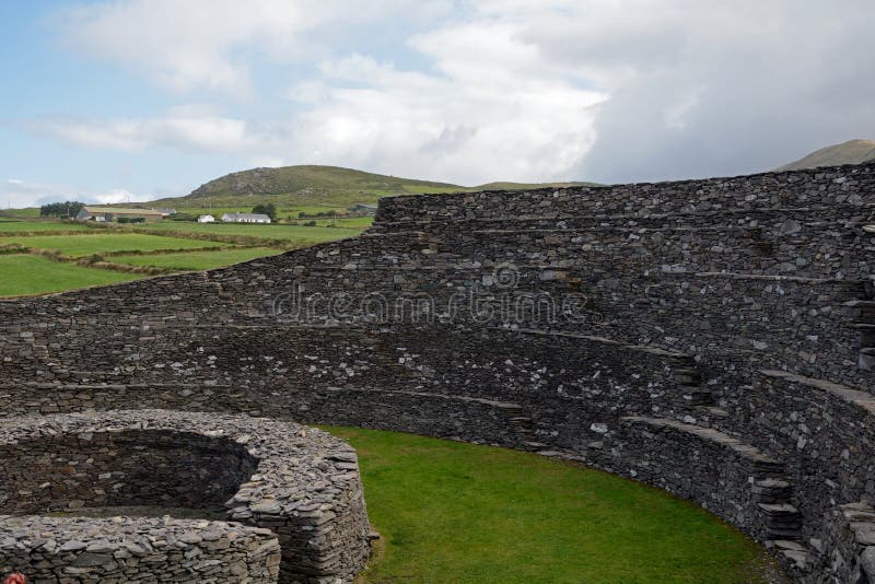 Fairy fort / earthen ringfort in An Drom RéidhFairy fort / earthen ringfort · 2.0 mi
Explorer Tom Fairy fort / earthen ringfort in An Drom Réidh is a small circle on a slope with a low bank that looks like it’s about…
 Coolagh CottageHouse · 2.0 mi
Explorer Tom Coolagh Cottage has been around since the early nineteenth century, holding onto its timber panelled door like a…
 Rathruane BridgeBridge · 2.0 mi
Explorer Tom Rathruane Bridge has a tombstone message ready: 'He crossed many rivers but never once fell in.' High craftsmanship and…
 Coolagh BridgeBridge · 2.0 mi
Explorer Tom Coolagh Bridge has walls made of rough stone that look like they’ve seen better days, and honestly, they have. The…
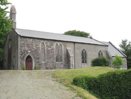 Church of St. MatthiasChurch/chapel · 2.2 mi
Explorer Tom Church of St. Matthias has pieces from an earlier church from 1829 hiding inside the newer structure. It's sitting on a…
 Rossbrin Castle (in Ruins)Castle, tower house · 4.8 mi
Explorer Tom Rossbrin Castle in Rossbrin is having a bit of a wobble. It collapsed three times, and I'm not entirely convinced it…
 Rossbrin CastleCastle · 4.8 mi
Explorer Tom Rossbrin Castle in County Cork ended up in the wrong place because someone misread a map from the seventeenth century…
 Cadogan's StrandVisitor attraction · 5.4 mi
Explorer Tom Cadogan's Strand thinks the road leading to it is basically a suggestion rather than a firm invitation for most cars.…
More archaeology and monuments in County Cork · All of County Cork

What do you know about this place?Tap to add a comment or ask a question