
What is recorded here
Single-arch road bridge spanning Rathruane River, built c.1820. Roughly coursed dressed limestone walls with cut limestone voussoirs to segmental arch.
The simple form of this road bridge is enhanced by the textural variation of the roughly coursed walls and cut voussoirs. Sited to the north of Ballydehob, its survival and ongoing usage is testament to the masonry and engineering skills of the early nineteenth century.
From the Buildings of Ireland (National Inventory of Architectural Heritage) record 20832001
This does not grant access. Most recorded buildings are privately owned; view them only from public ground unless the owner allows entry.
Places near here
Photo credits
- National Inventory of Architectural Heritage
- Dr Brian Lynch, Geograph · CC BY-SA 2.0
- Andrew Wood, Geograph · CC BY-SA 2.0
- Garry Dickinson, Wikimedia Commons · CC BY-SA 2.0
- Mike Searle, Geograph · CC BY-SA 2.0
- Richard Webb, Geograph · CC BY-SA 2.0
- Kondephy, Wikimedia Commons · CC BY-SA 4.0
- Podstawko, Wikimedia Commons · CC BY 4.0
- D.Camier, Wikimedia Commons · CC BY-SA 4.0
 Coolagh CottageHouse · 141 yd
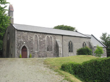 Church of St. MatthiasChurch/chapel · 322 ydDanno O’Mahony statueMemorial · 825 yd
 Ballydehob's 3-Arch Road BridgeVisitor information · 1073 yd
 Ballydehob HarbourVisitor information · 1207 yd
 Rossbrin CastleCastle · 2.8 mi
 Kilcoe CastleCastle · 3.0 mi
 Mount CorrinMountain / peak · 3.1 mi
 Mount GabrielMountain / peak · 3.2 mi
 Skeam EastIslet · 4.3 mi
 Skeam WestIslet · 4.4 mi
 Graveyard4.6 mi
More historic places in County Cork · All of County Cork
What do you know about this place?