
What is recorded here
Above shoreline on W side of Schull Harbour. Rectangular area enclosed by stone wall with modern extension to E. Many inscribed late 18th, 19th and 20th century headstones; a number of chest tombs and family vaults; still in use. Contains ruins of church (CO148-020002-).
From the National Monuments Service (Archaeological Survey of Ireland) record CO148-020001
The monument record does not grant public access. Check the route and ask the landowner before entering private land.
- What survives
- Recorded monument
Places near here
Photo credits
- National Inventory of Architectural Heritage
- Richard Webb, Geograph · CC BY-SA 2.0
- Richard Webb, Wikimedia Commons · CC BY-SA 2.0
- Martin Southwood, Geograph · CC BY-SA 2.0
- Gordon Hatton, Geograph · CC BY-SA 2.0
- Kondephy, Wikimedia Commons · CC BY-SA 4.0
- Garry Dickinson, Wikimedia Commons · CC BY-SA 2.0
- Mick Garratt, Geograph · CC BY-SA 2.0
- D.Camier, Wikimedia Commons · CC BY-SA 4.0
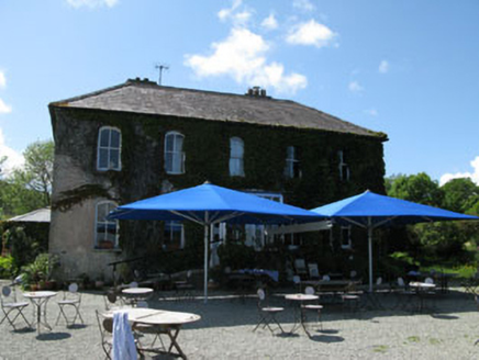 Grove HouseHotel · 588 yd
 school master's house650 ydStructure in SkullStructure · 713 ydSchull HarbourBay · 750 yd
 Coney IslandIslet · 1.7 mi
 Long IslandIsland · 1.7 mi
 Castle (in Ruins)Castle, tower house · 2.1 mi
 Mount Gabriel View Point toward SouthViewpoint · 2.6 mi
 Mount GabrielMountain / peak · 2.6 mi
 Rossbrin CastleCastle · 3.2 mi
 AltarViewpoint · 4.2 mi
 Wedge tomb in AltarWedge tomb · 4.2 mi
More archaeology and monuments in County Cork · All of County Cork
What do you know about this place?