What is recorded here
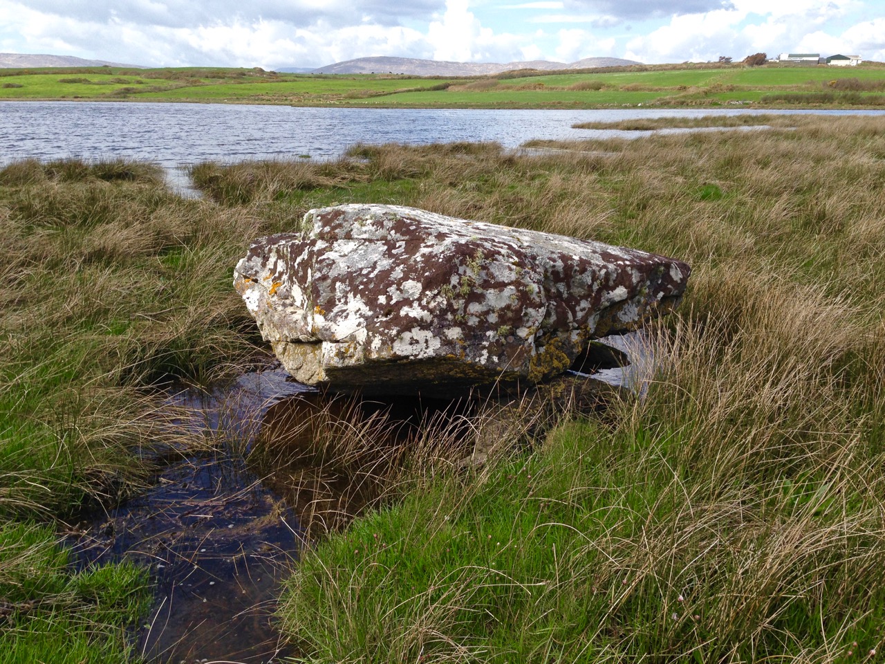
Standing stone in Rathruane Beg is a sub-rectangular stone aligned NNE-SSW on a south-facing pasture slope in County Cork. It stands 1.34m tall with a base of 1m by 0.73m, small enough to touch but tall enough to mark a line across the field. Cattle may have walked past it for centuries, treating the stone as an ordinary boundary of the pasture rather than a monument.
In pasture on S-facing slope. Sub-rectangular stone aligned NNE-SSW (H 1.34m; 1m x 0.73m).
The above description is derived from the published 'Archaeological Inventory of County Cork. Volume 1: West Cork' (Dublin: Stationery Office, 1992). In certain instances the entries have been revised and updated in the light of recent research.
Date of upload/revision: 14 January 2009
The monument record does not grant public access. Check the route and ask the landowner before entering private land.
- What survives
- Recorded monument
Places near here
 Man-made underground passage in Rathruane MoreMan-made underground passage · 1143 yd
 Killeen Burial Gd (Disused)Burial ground · 1179 yd
 Tuck MillMill, fulling · 1703 yd
 Rathruane Bridgebridge · 1.1 mi
 Mount CorrinMountain / peak · 1.7 mi
 Danno O’Mahony statueMemorial · 1.9 mi
 Ballydehob's 3-Arch Road BridgeVisitor information · 2.1 mi
 The 12-Arch Railway ViaductVisitor information · 2.1 mi
 Mount GabrielMountain / peak · 2.4 mi
 Barnageehy Loop WalkWalking route · 2.9 mi
 Mannion's Island (Large)Islet · 3.3 mi
 Mannion's Island (Small)Islet · 3.3 mi