What is recorded here
Half a football pitch wide on a hill crest in County Cork, the fort still stands with a 2.5m earthen bank, outer ditch and a stone-lined entrance pointing SSE. Cultivation ridges cut across the grass interior, and local legend calls it a fairy fort rather than a human home. That contradiction is the point: people farmed inside it, feared it or both, while the stones kept their own counsel.
In pasture, on crest of hill. Roughly circular area (35.5m N-S; 38.5m E-W) enclosed by earthen bank (H 2.5m); external fosse (D 1.5m); second bank E->SE, may not be original. Entrance to SSE (Wth 2.8m), with causeway. Bank stone faced on inside (H 1.30m) and at entrance; line of embedded stones atop outer edge of bank W->NNW. Cultivation ridges cross interior on NNW-SSE axis; possible Man-made underground passage (CO140-006002-) in interior.
The above description is derived from the published 'Archaeological Inventory of County Cork. Volume 1: West Cork' (Dublin: Stationery Office, 1992). In certain instances the entries have been revised and updated in the light of recent research.
Date of upload/revision: 14 January 2009
The monument record does not grant public access. Check the route and ask the landowner before entering private land.
- What survives
- Recorded monument
Places near here
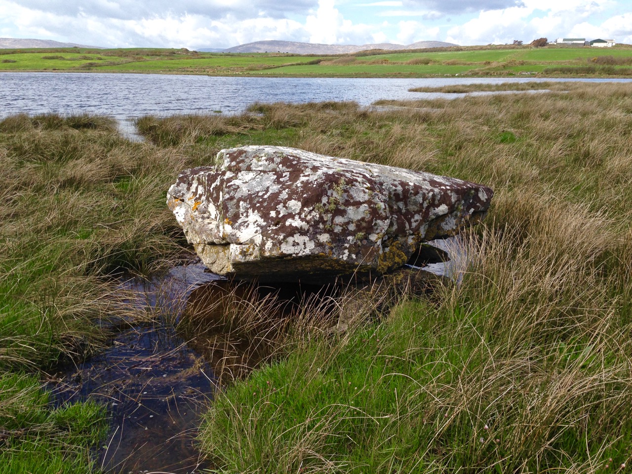 Man-made underground passage in Rathruane MoreMan-made underground passage · 1 yd
 Rathruane Bridgebridge · 736 yd
 Tuck MillMill, fulling · 910 yd
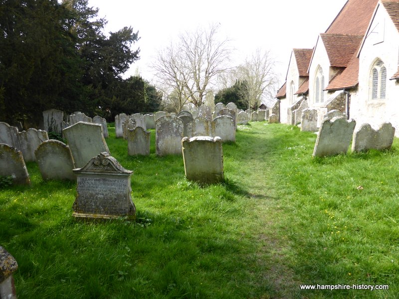 Childrens Burial GdBurial ground · 1101 yd
 Danno O’Mahony statueMemorial · 1.3 mi
 Ballydehob's 3-Arch Road BridgeVisitor information · 1.4 mi
 The 12-Arch Railway ViaductVisitor information · 1.5 mi
 Mount CorrinMountain / peak · 2.3 mi
 KnockaphukeenMountain / peak · 2.5 mi
 Rossbrin CastleCastle · 3.2 mi
 Barnageehy Loop WalkWalking route · 3.2 mi
 Bawn in ArdintenantBawn · 3.6 mi