
What is recorded here
From the National Monuments Service (Archaeological Survey of Ireland) record WA005-054
Places near here
Photo credits
- National Inventory of Architectural Heritage
- Maker not stated on source page, monumentalireland.ie
- Maker not stated on source page, www.pinterest.com
- Maker not stated on source page, tr.pinterest.com
 outbuilding899 yd
Explorer Tom Outbuilding in Graignagower is a disused shed that refuses to die, standing proudly on the road with all its original…
 Shandarrick CottageOutbuilding · 924 yd
Explorer Tom Shandarrick Cottage is tiny but mighty, like a teacup that refuses to be washed and just stays full of old tea. It took…
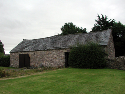 farmyard complex961 yd
Explorer Tom Farmyard complex in Graignagower is treating the postman like a spy who stole its lunch and never paid back. It’s…
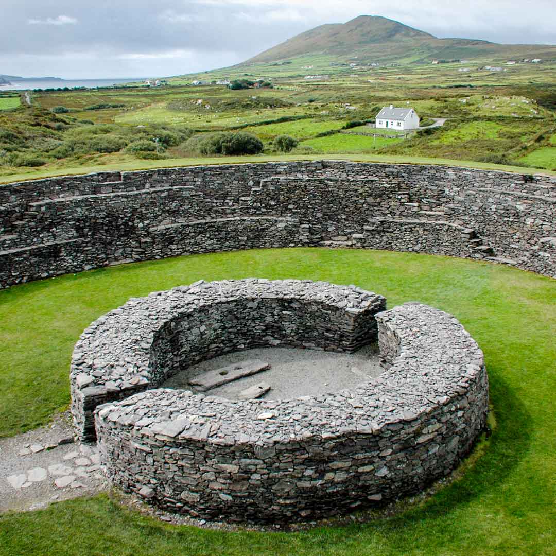 Fairy fort / ringfort in GraignagowerFairy fort / ringfort · 969 yd
Explorer Tom Fairy fort / ringfort in Graignagower took about four million cups of tea to build, or so the local mists would have…
 Bennett's Church GraveyardCemetery · 1023 yd
Explorer Tom Bennett's Church Graveyard is locked in a serious drama with the nearest tree, which keeps leaning in to gossip. The…
 Site of Bennetts ChurchChurch · 1055 yd
Explorer Tom Site of Bennetts Church in Graignagower is just a grass-covered wall in a valley, sitting where a chapel-of-ease used…
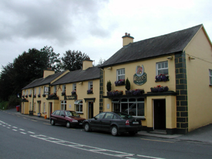 court house1717 yd
Explorer Tom Court house in Curtiswood on Ballymacarbry reviews every visitor who walks past with a stern frown and a silent…
 Ballymacarbry Bridge (Old)Officially recorded historic building · 1.0 mi
Explorer Tom Ballymacarbry Bridge (Old) is deeply suspicious of the postman because he once dropped a parcel into the River Nier…
 Standing stone in Reanadampaun Commons (decies Without Drum By.)Standing stone · 1.0 mi
Explorer Tom Standing stone in Reanadampaun Commons in County Waterford has a damaged top that looks like it lost a fight with the…
 Ballymacarbry Garda Síochána StationGarda station/constabulary barracks · 1.2 mi
Explorer Tom Ballymacarbry Garda Station looks like a proper building, but the local rabbits think it’s a shelter. They’ve mapped…
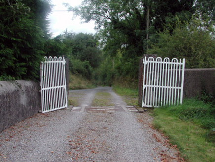 NirevaleGates/railings/walls · 1.2 mi
Explorer Tom Nirevale in Ballymacarbry is a gateway that has had so many names it suffers from identity crisis and mild confusion.…
 Knockalisheen BridgeOfficially recorded historic building · 1.4 mi
Explorer Tom Knockalisheen Bridge has a bad poem written about it by a local lad who thought 'spanning' was a verb for dancing. It’s…
More archaeology and monuments in County Waterford · All of County Waterford

What do you know about this place?Tap to add a comment or ask a question