What is recorded here
Situated towards the bottom of a S-N valley, on the W side with a stream c. 80m to the E. This is a conglomerate stone with a rectangular cross-section (dims. 0.6m x 0.45-0.6m; H 1.95m). The top has been damaged creating a NNE-SSW orientation.
The above description is derived from the published 'Archaeological Inventory of County Waterford' (Dublin: Stationery Office, 1999). In certain instances the entries have been revised and updated in the light of recent research.
Date of upload/revision: 23 December 2008
The monument record does not grant public access. Check the route and ask the landowner before entering private land.
- What survives
- Recorded monument
Places near here
 KnockeenMountain / peak · 702 yd
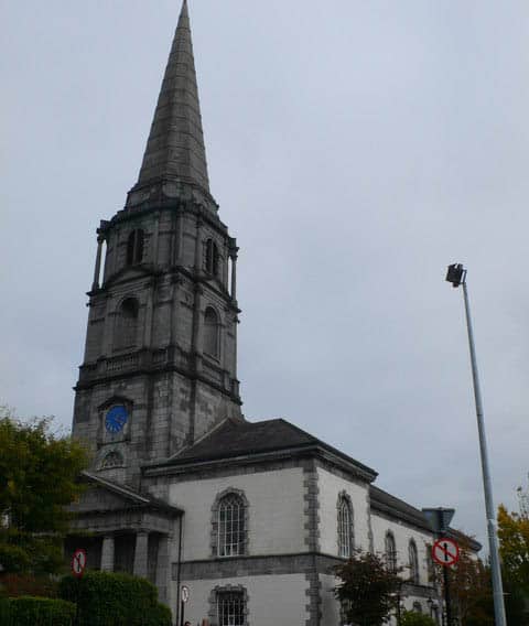 Church in KilkeanyChurch · 1147 yd
 Pigeon HillMountain / peak · 1273 yd
 BarrowBarrow, ring-barrow · 1438 yd
 IndicatedEnclosure, large enclosure · 1726 yd
 Site of CastleCastle, unclassified · 1.1 mi
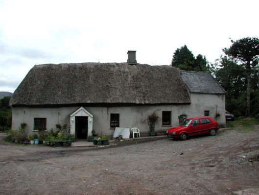 Shanballyanne Cottagehouse · 1.3 mi
 Laeka WoodWood · 1.8 mi
 Turraphuca WoodForest · 1.9 mi
 Curraghcloney CastleCastle · 3.6 mi
 Siglloges LoopWalking route · 4.0 mi
 Coumlara LoopWalking route · 4.2 mi