
What is recorded here
Castlereagh castle stood at a fork in a lane on a slight west-facing slope in County Waterford, built during the reign of Elizabeth I and destroyed by Cromwell around 1650. By 1640 it was already a decayed old castle belonging to John Power of Dunhill, and by 1655 it appeared only as a cluster of cabins. The stones are no longer visible, though two quernstones surfaced when a nearby building was dismantled, hinting that the castle still gives up fragments when the living world shifts.
Situated at a fork in a lane on a slight W-facing slope. It is traditionally thought to have been erected during the reign of Elizabeth I and destroyed by Cromwell c. 1650 (O'Flanagan 1929, 51). It is marked with a cluster of cabins on a Down Survey (1655-6) map and terrier, and described as a 'decayed old castle', the property of John Power of Dunhill (WA025-045----) c. 1640 (Simington 1942, 95). It is not visible at ground level. Archaeological testing (02E0423) c. 30m to the SW produced no related material, but two quernstones were recovered in dimantelling an existing building (Gregory 2004, 488, No. 1783).
Gregory, N. (2004) Castlereagh/Ballymacarbry: medieval. in I. Bennett (Ed.) Excavations 2002: summary accounts of excavations in Ireland, 488. Wordwell. Bray.
O'Flanagan, M. (Compiler) (1929) Letters containing information relative to the antiquities of the county of Waterford collected during the progress of the Ordnance Survey in 1841. Typescript. Bray.
The above description is derived from the published 'Archaeological Inventory of County Waterford' (Dublin: Stationery Office, 1999). In certain instances the entries have been revised and updated in the light of recent research.
Compiled by: Michael Moore
Date of upload/revision: 26 October 2010
Built during the reign of Elizabeth I, Castlereagh was likely held by local gentry and was destroyed around 1650 during the Cromwellian conquest of Ireland. It is remembered as part of the historical landscape of early modern Irish fortifications.
The monument record does not grant public access. Check the route and ask the landowner before entering private land.
- What survives
- Recorded monument
Places near here
 IndicatedEnclosure, large enclosure · 637 yd
 Grave YardGraveyard · 931 yd
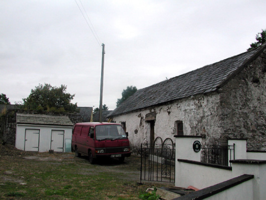 Shandarrick Cottageoutbuilding · 1081 yd
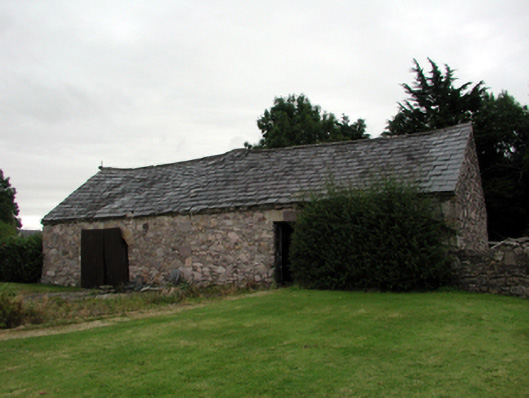 farmyard complexfarmyard complex · 1123 yd
 Pigeon HillMountain / peak · 1377 yd
 Laeka WoodWood · 1.3 mi
 KnockeenMountain / peak · 1.4 mi
 Turraphuca WoodForest · 2.3 mi
 Curraghcloney CastleCastle · 2.5 mi
 Castle Coonagh (in ruins)Castle, tower house · 2.8 mi
 Carey's Castle WoodsVisitor information · 5.0 mi
Other information
Photo: Credit not shown in the picture search · Rights wording not checked; contact us if this picture should be removed