
What is recorded here
Situated in the S-N valley of the Curraghteskin stream at a point where smaller SE-NW stream joins it just to the S. The grass-covered remains of the E wall of a church (WA005-026001-) are within a rectangular graveyard (dims. c. 80m E-W; c. 45m N-S) which also contains an old school building and a small number of headstones. The graveyard borders Castlereagh at E and S. A pebble with incised crosses was found in the graveyard (Lucas et al. 1972, 198-9). Archaeological testing c. 60m to the SW in Curraghateskin failed to produce any related material (Wren 2000b, P 292, No. 842).
Wren, J. (2000b) Croughateskin (sic), Ballymacarbry: adjacent to church and graveyard. in I. Bennett (Ed.) Excavations 1999: summary accounts of excavations in Ireland, 292, No. 842. Wordwell. Bray.
Compiled by: Michael Moore
Date of upload: 26 October 2010
A local ancient tomb; wider significance not recorded.
The monument record does not grant public access. Check the route and ask the landowner before entering private land.
- What survives
- Recorded monument
Places near here
 Fulacht fia in KnockatrellaneFulacht fia · 520 yd
 Mine in KnockatrellaneMine · 712 yd
 Site of CastleCastle, unclassified · 930 yd
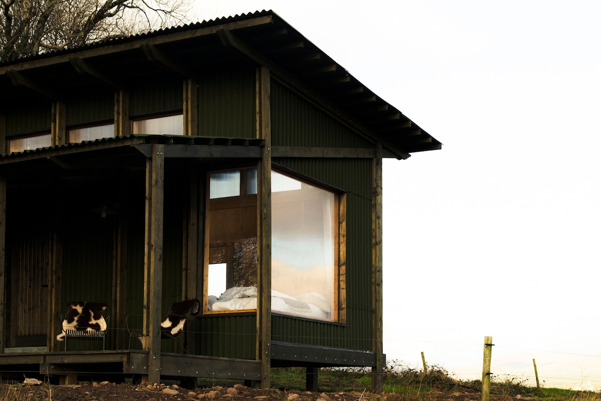 Hilltop enclosure in KnockatrellaneHilltop enclosure · 958 yd
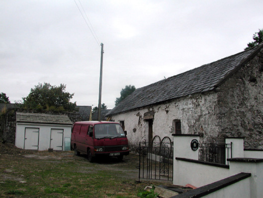 Shandarrick Cottageoutbuilding · 1144 yd
 Pigeon HillMountain / peak · 1.3 mi
 Laeka WoodWood · 1.3 mi
 KnockeenMountain / peak · 2.0 mi
 Curraghcloney CastleCastle · 2.1 mi
 Turraphuca WoodForest · 2.6 mi
 European long distance path E8 - part IrelandWalking route · 4.7 mi
Other information
Photo: Credit not shown in the picture search · Rights wording not checked; contact us if this picture should be removed